Like the rest of the Canary Islands, La Palma owes its creation to volcanic activity.
(Quick aside, I can’t seem to find out why this is the case when the archipelago doesn’t occupy a tectonic plate boundary – but maybe I just don’t understand what I am reading.)
In the case of La Palma, it wasn’t one volcano but several and currently the consensus appears to be that La Palma houses not one but two volcanoes – one of which is fairly active.
Again, this is another tricky thing to understand, not helped but the number of ‘Volcan de…’ that pop up on the map.
However, having thrashed through (well, skimmed) a few dense articles (and some very superficial ones) that Professor Google suggested, I think (THINK) I am correct in saying there is one dormant, very old volcanic region occupying the northern third of the island – the Taburiente region. This looks exactly like what you expect a volcano to look like on Google maps.
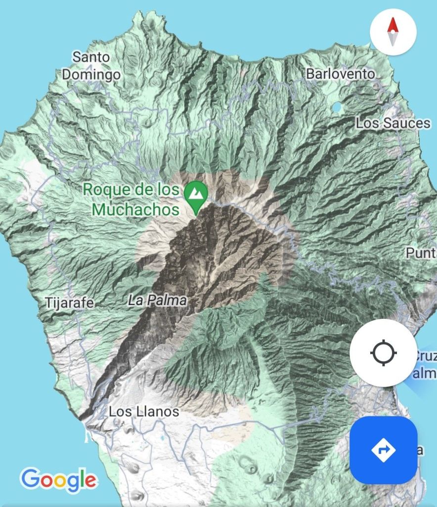
And then there’s the rest of the island – the Dominio del Dorsal (Dorsal ridge) – which is subdivided into Cumbre Nueva in the northern section and Cumbre Vieja in the southern section. This looks a bit more confusing because there are loads of vents. And each of these vents is named ‘Volcan de…’ but they aren’t separate volcanoes!
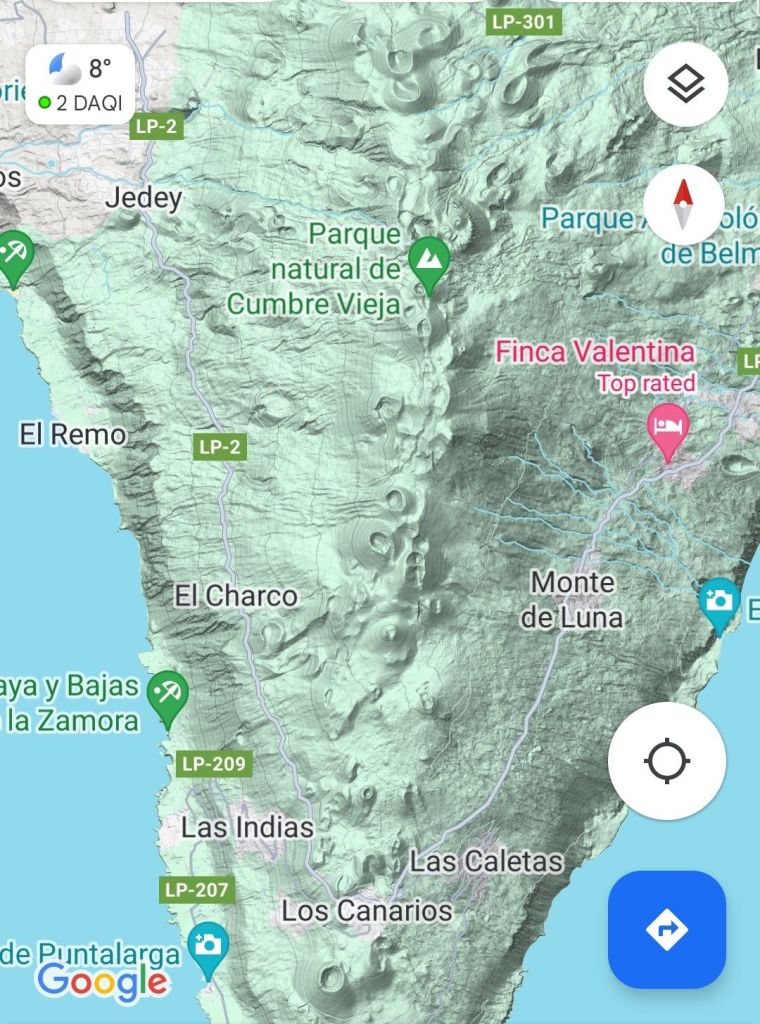
This ridge is a very recent volcano, possibly as young as 125,000 years (which is a flicker of time in geological terms). I have to say I found this factoid on Google but can’t confirm it anywhere scientific, so treat with caution! The whole are is one long volcano but the eruptions happen in different places. Most recently, it erupted towards the West, between September and December 2021 – very recently.
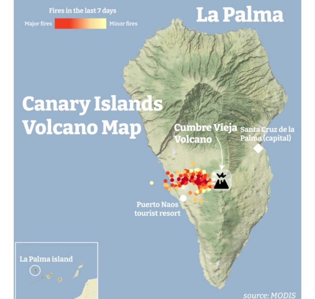
I was told at the hotel that for a few days all hotel reservations were cancelled, then everything was booked up as people flocked to see the volcano, but as they didn’t stay long, it affected the economy. And the area around where the volcano erupted has lost all its tourism, and Neots of houses.
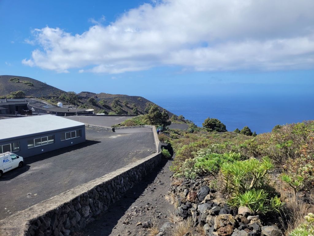
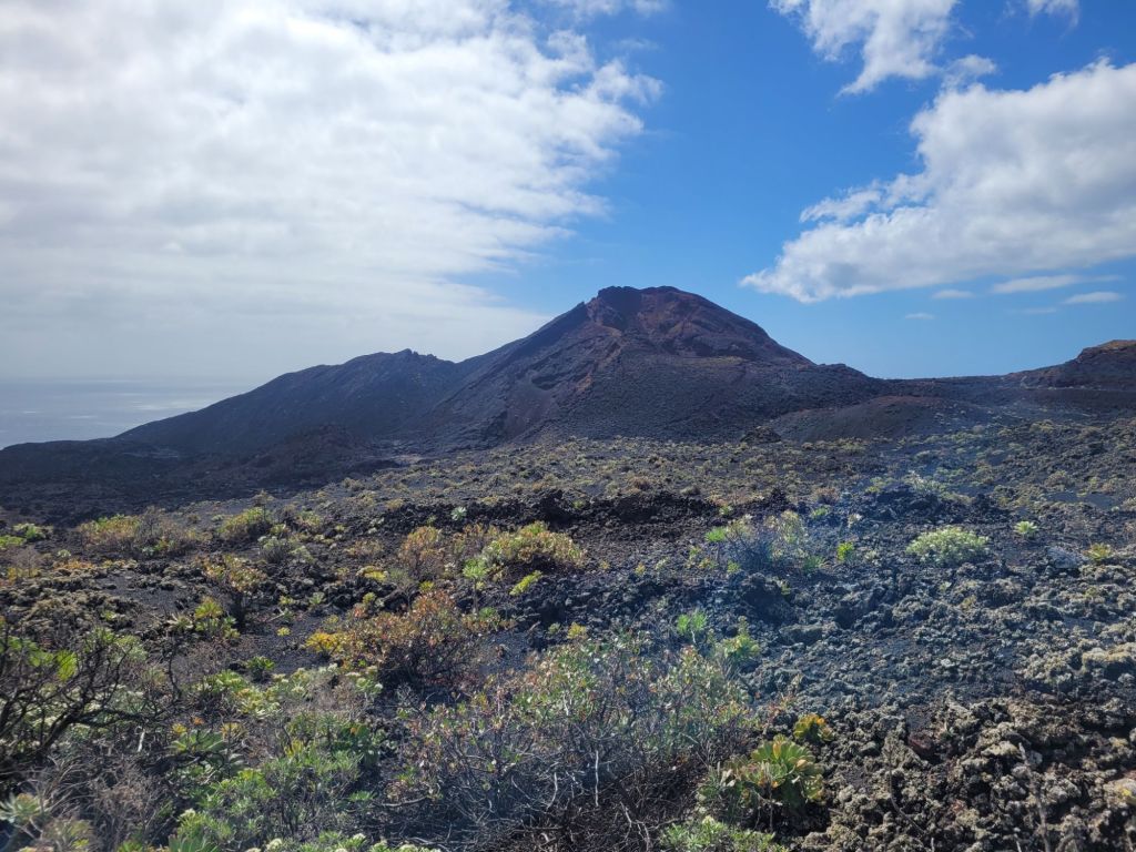
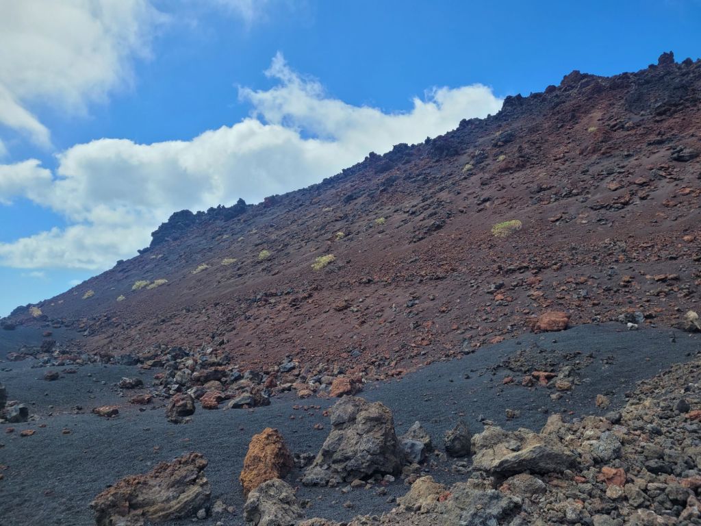
At the far south of the island there is a vent called Volcan Teneguía, which has a visitor centre, a rim walk and a walk down to the lighthouse below. It erupted in 1971, and the walk to the coast traverses some pretty spectacular lava fields. The visitor centre and rim walk were closed as it was incredibly windy and thus too dangerous. We decided to do the walk down to the lighthouse- about six kilometres. Simple.
Well, yes and no. It was downhill but very steep in places and it’s all on ash or coarse sandy lava, so it’s a bit slippery. Thankfully, we had left the walking sandals in the car and chosen proper footwear with good treads – we still slid about at times.
It was also incredibly windy and cold unless the sun was out. And it occasionally got a bit drizzley (driving drizzle is not fun). But what views!
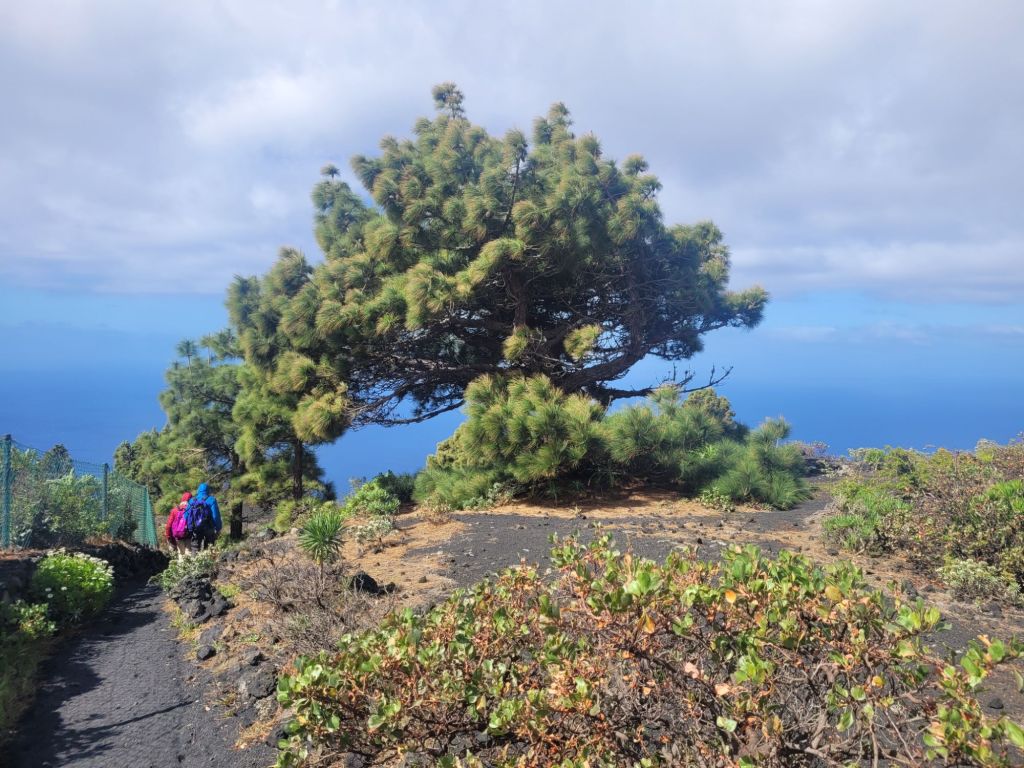
We started here – the path runs to the right of the wall
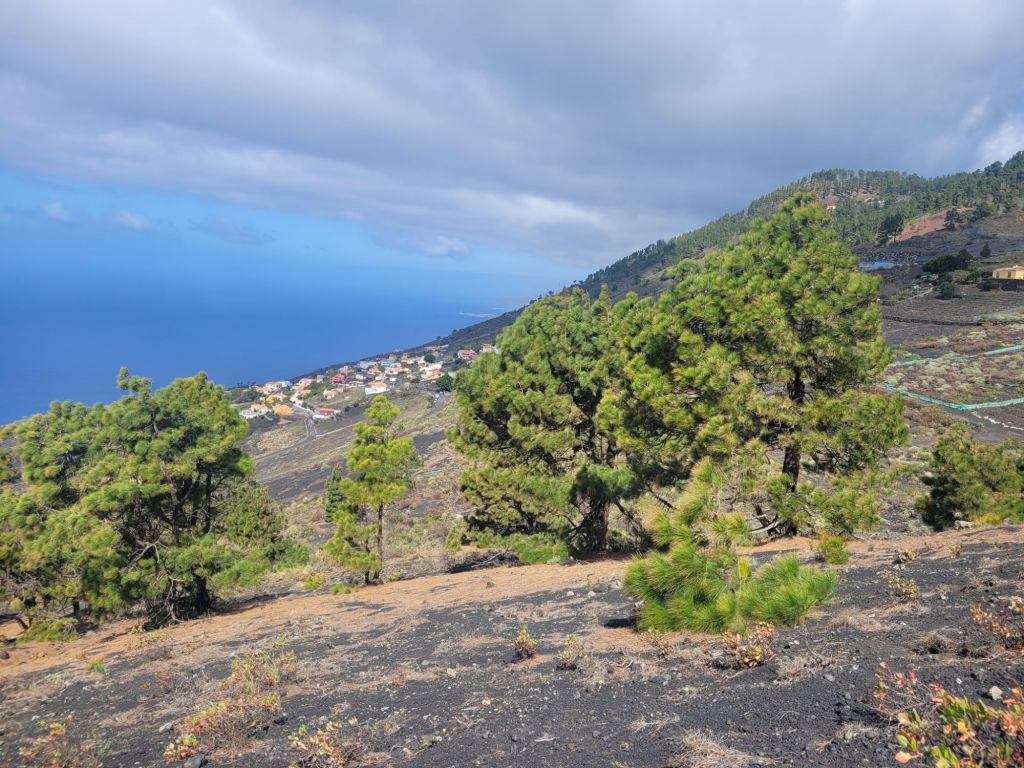
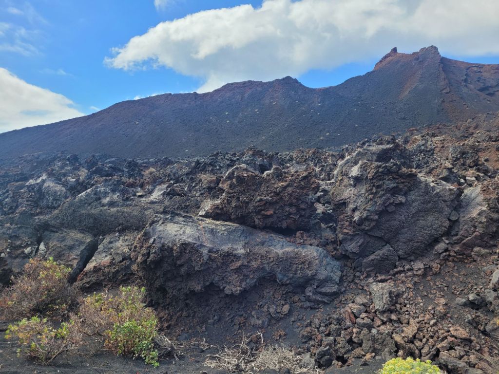
walked past these
and got down to a dusty road made of ground up lava, somewhere between coarse sand and small shingle – I had to empty my shoes and socks three times.
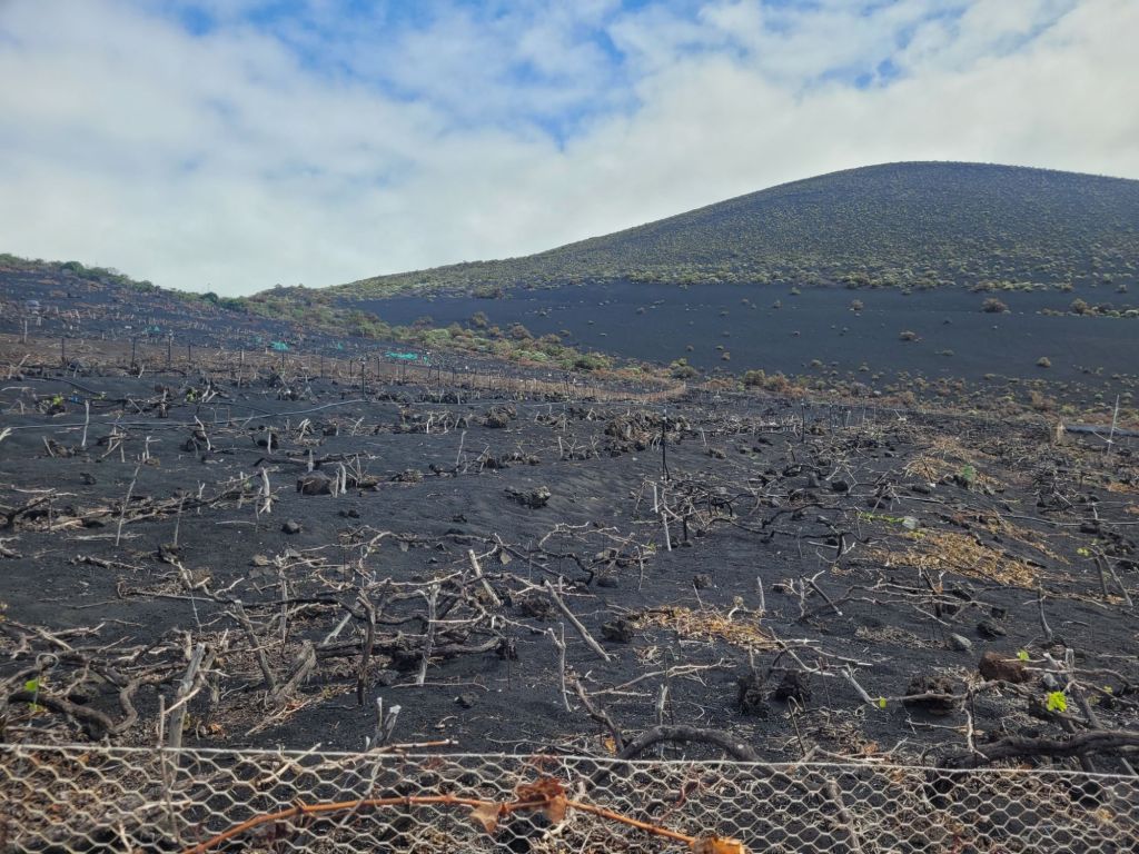
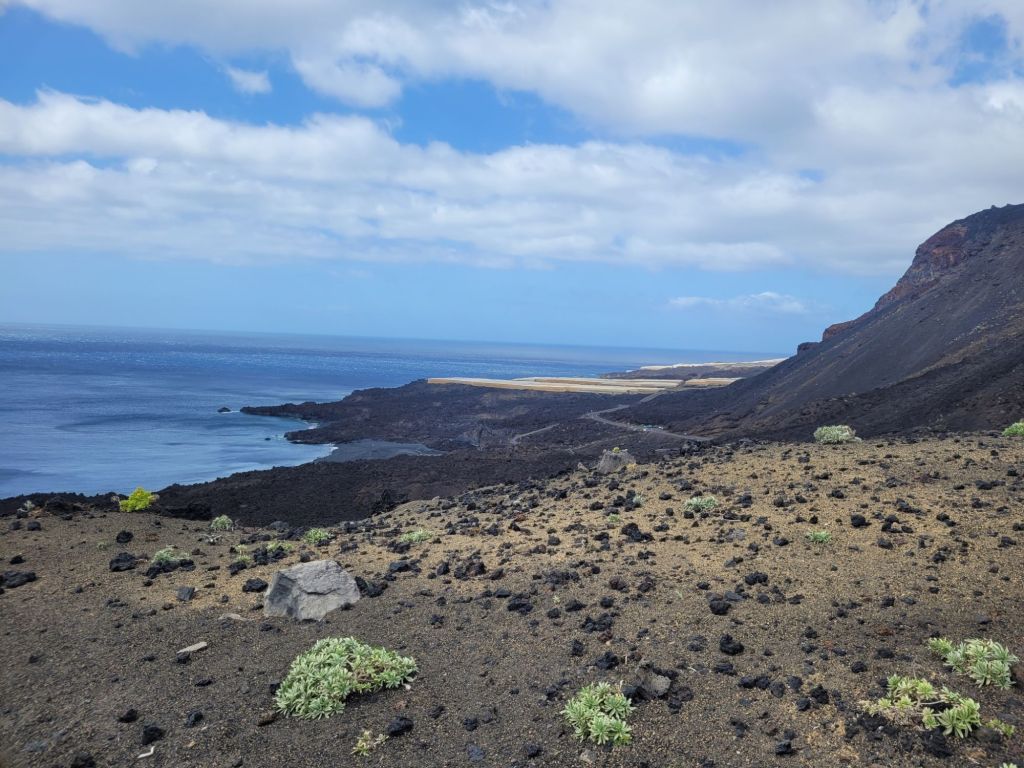
At this point we looked west over the Llanos Negros (black plains) and Los Quemados (the burned ones). This area is covered with ash from the 1677 eruption. As the saying goes, God takes with one hand and gives with the other – this is now the largest producer of Malvasia grapes (used to make Malmsey).
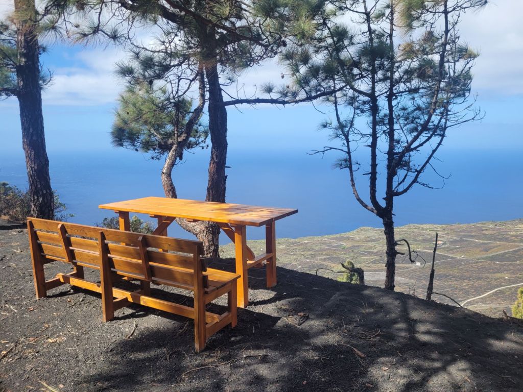
Then on past this lovely picnic spot
and down, down, into wind that sandblasted our faces (and my legs) with the smallest pieces of the road. I wore cropped leggings so my shins collected a lovely grey stripe which contrasted nicely with the rest of my milk bottle legs.
At one point a (quite small) woman bent over by a signpost to put down her backpack and was nearly blown off by a particularly violent gust. Thankfully her partner caught her arm and her backpack got wedged against the signpost. This was a bit sobering.
There were some dormant vines that were just starting to show signs of life
and weird and wonderful lava shapes:
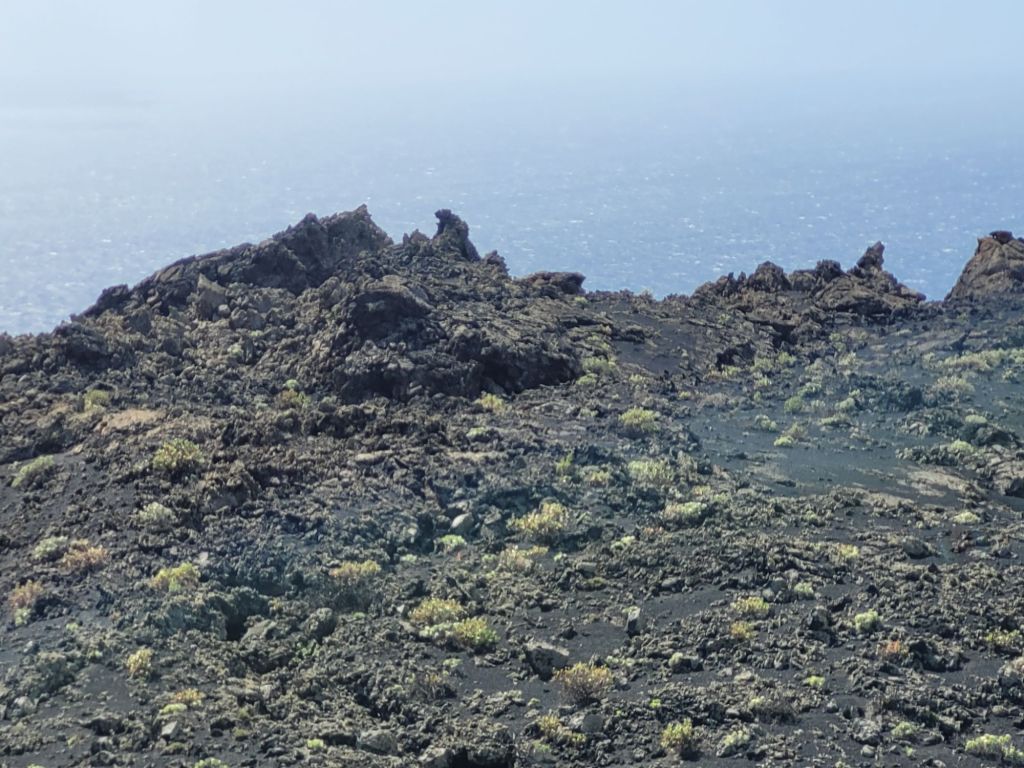
Mostly we walked down, through dark grey/black mounds of ash/lava past various vent mounds:
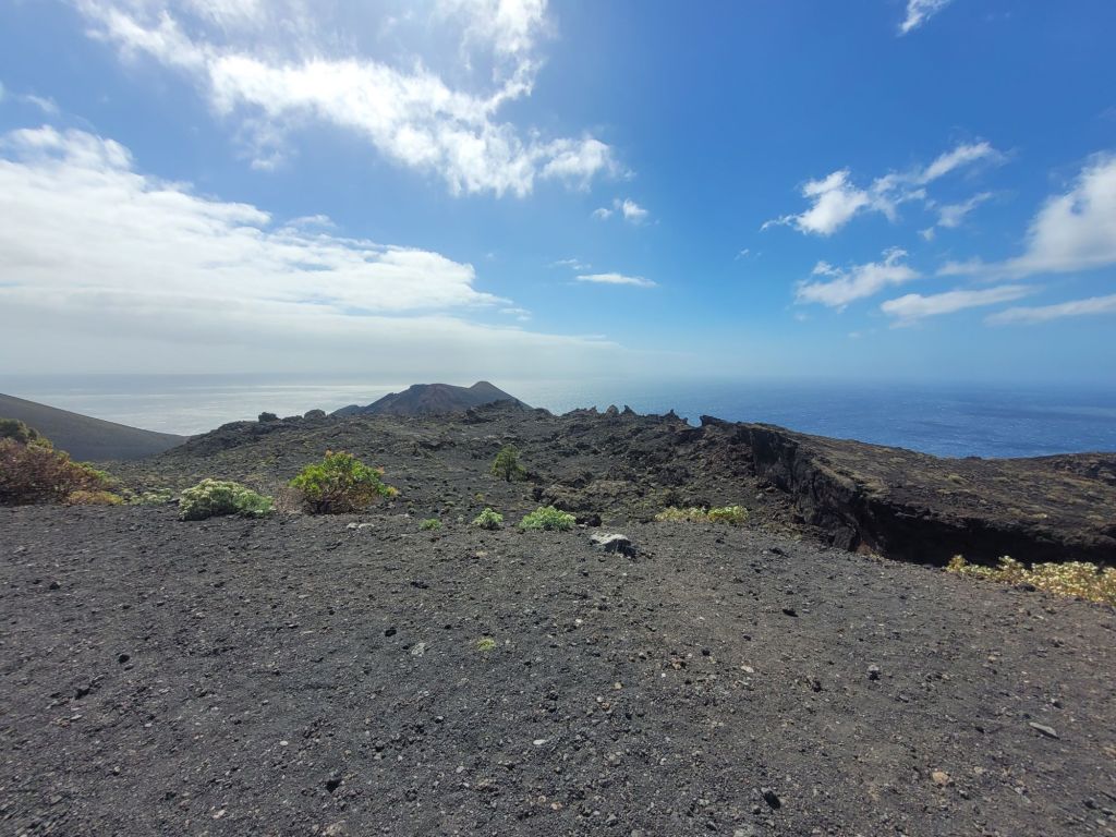

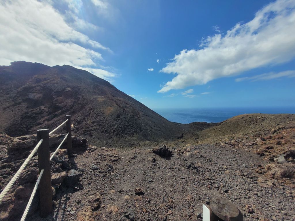
Until both we, and the lava, reached the sea.
And we took the bus back up!
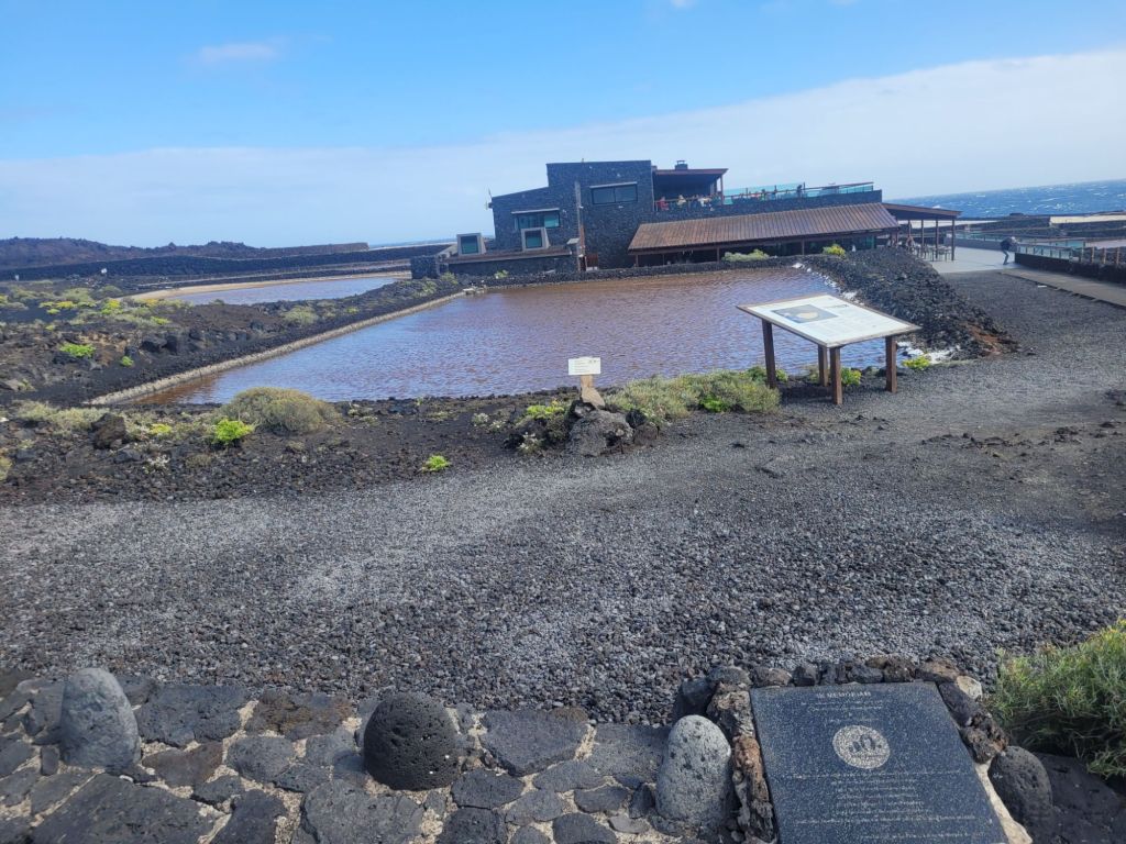
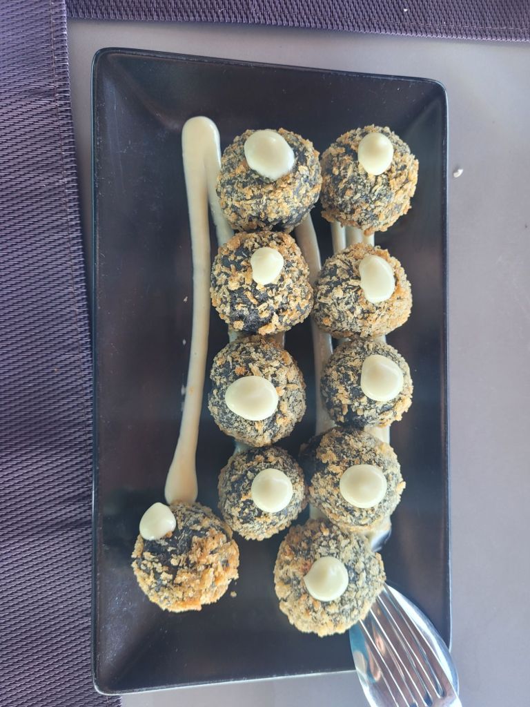
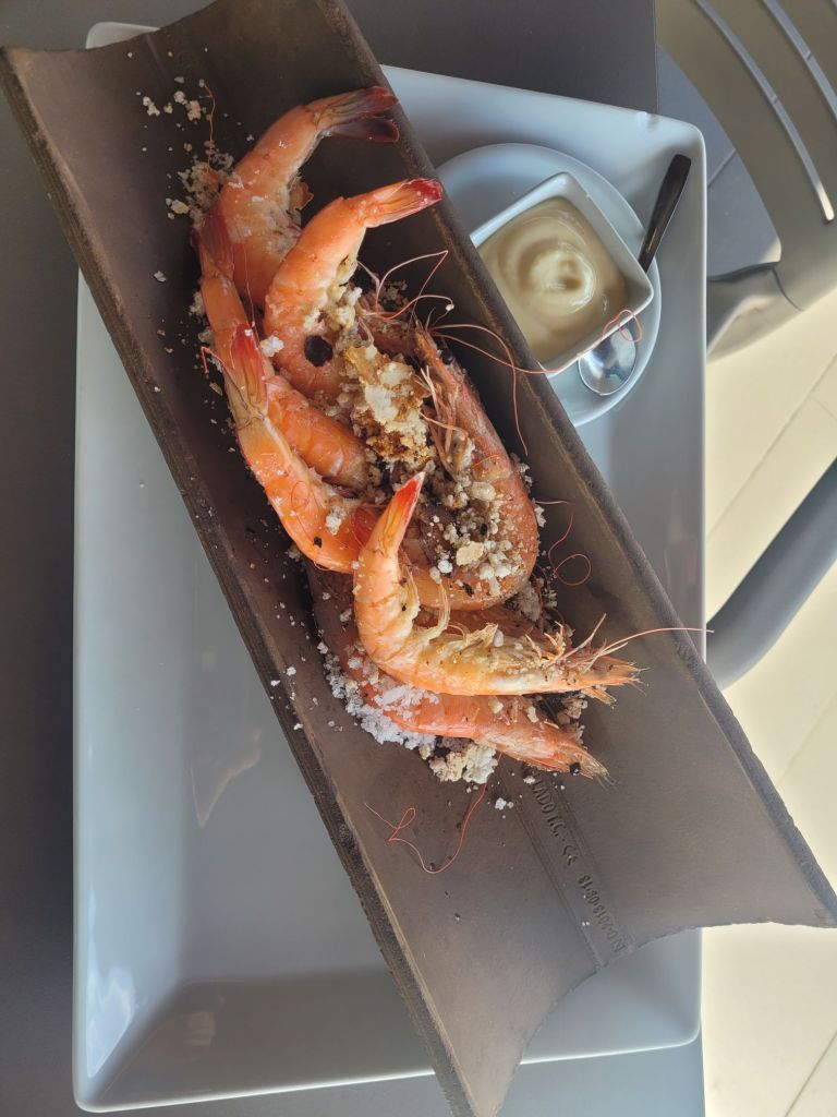
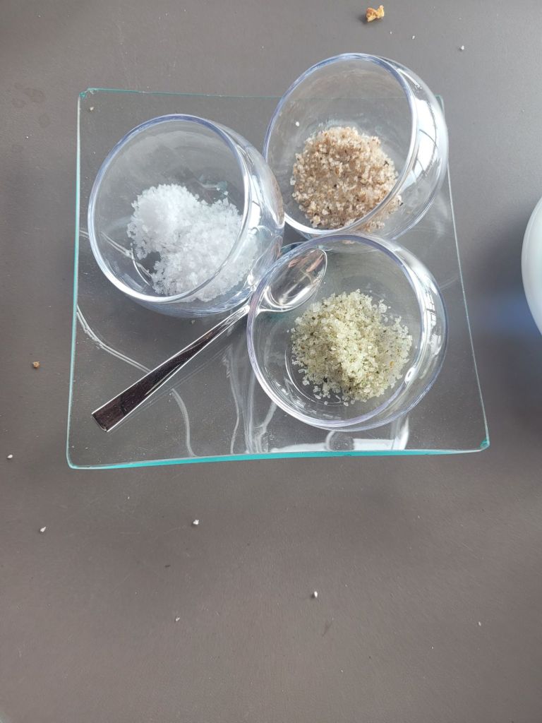
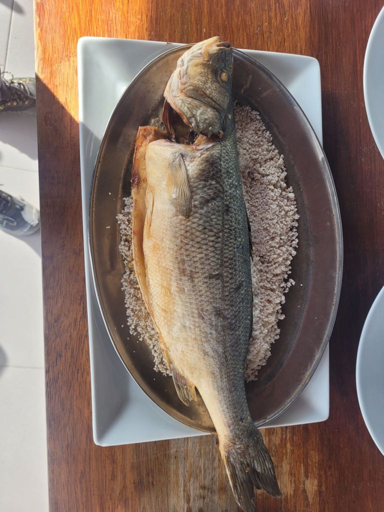
Then we drove back down to have lunch at the El Jardin de Sal, a restaurant set amongst the salt pans on the coast next to the lava flow.

Lunch was fabulous and the white wine delicious.
We acquired an extra guest, who seemed very eager to help –

at one point her head was on Roger’s lap and her nose was an inch from his plate.
And the view…

The cherry on top would have been seeing whales and dolphins. Apparently they do see them from the restaurant (I asked) AND this is the right season, but there was too much wind and it was too choppy.
Regardless, a perfect spot.

Leave a comment