Cantabria gives its name (or vice versa) to the Cantabrian mountain chain that runs across the North of Spain from Bilbao to Gaicia, parallel to the coast. Really it’s a series of ranges, with one, less high, running quite close to the coast and a second rank behind that, higher, that backs onto the central plain. These (mostly) limestone mountains, uplifted when the African and European tectonic plates collided, are sometimes also seen as a geological continuation of the Pyrenees. The Picos de Europa form part of the more southerly (and higher) peaks of the Cantabrian mountains.
Glaciation and water erosion formed the gap between the two ranges, and the southerly, higher, rank of mountains casts a significant rain shadow for the central plain. Thus the Atlantic ‘fringe’ area is temperate, wet and lush (hence ‘Green Spain’) while the central plain is arid and more extreme in its temperatures. Rivers in Cantabria either plunge quickly towards the Atlantic coast, or move in a more leisurely fashion towards the Mediterranean or Portugal, depending on which side of the water-shed they rise from. The Ebro, for example, is Spain’s longest river; it rises in Cantabria but emerges in the Mediterranean half-way between Barcelona and Valencia.
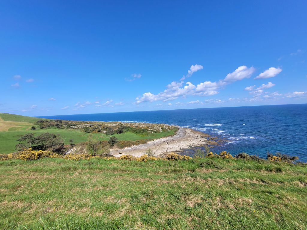
What this means for Cantabria is rocks. Lots of them. And rivers that have carved out extensive basins on their rush to the sea.
The beaches are sandy (with rocks) and some are enormous. At Comillas, the beach stretches out with a series of of rock ‘lines’, exposed at low tide.

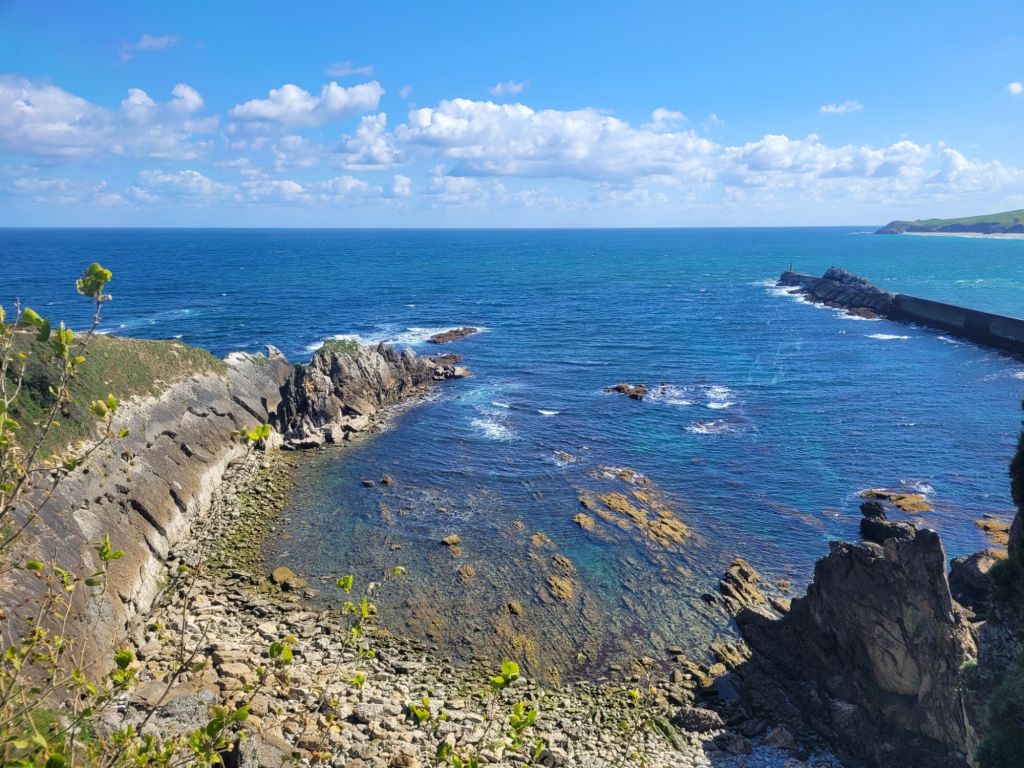
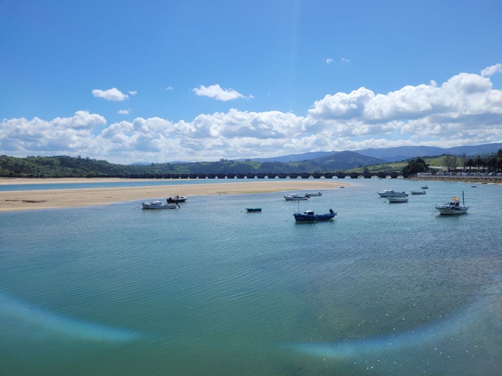
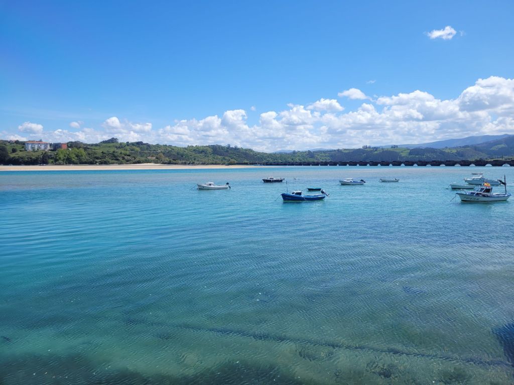
Travelling further west, San Vicente de la Barquera has a large harbour formed by the confluence of two rivers – the Rio de Pena Candiles and the Rio del Escudo – which form marsh-land before opening out to sea. To the west of the mouth of the river there are rocks and cliffs.
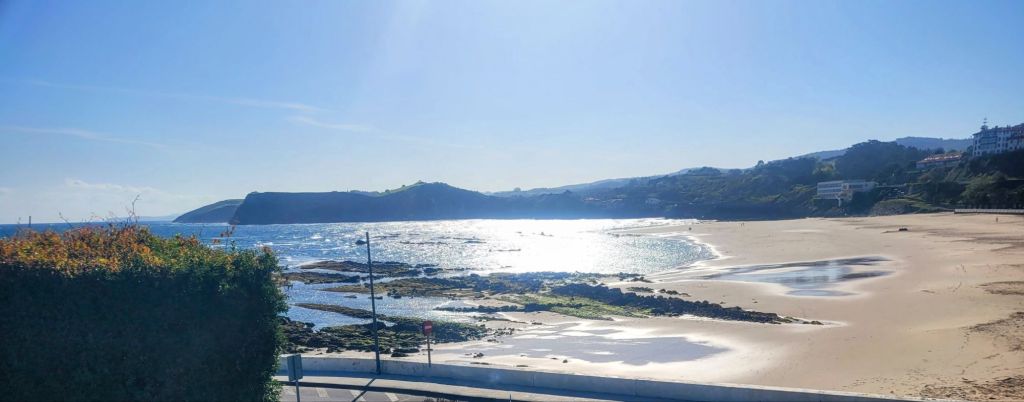
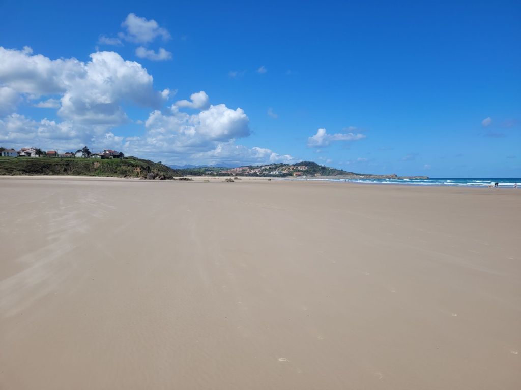
East of the rivermouth is a spectacular beach.
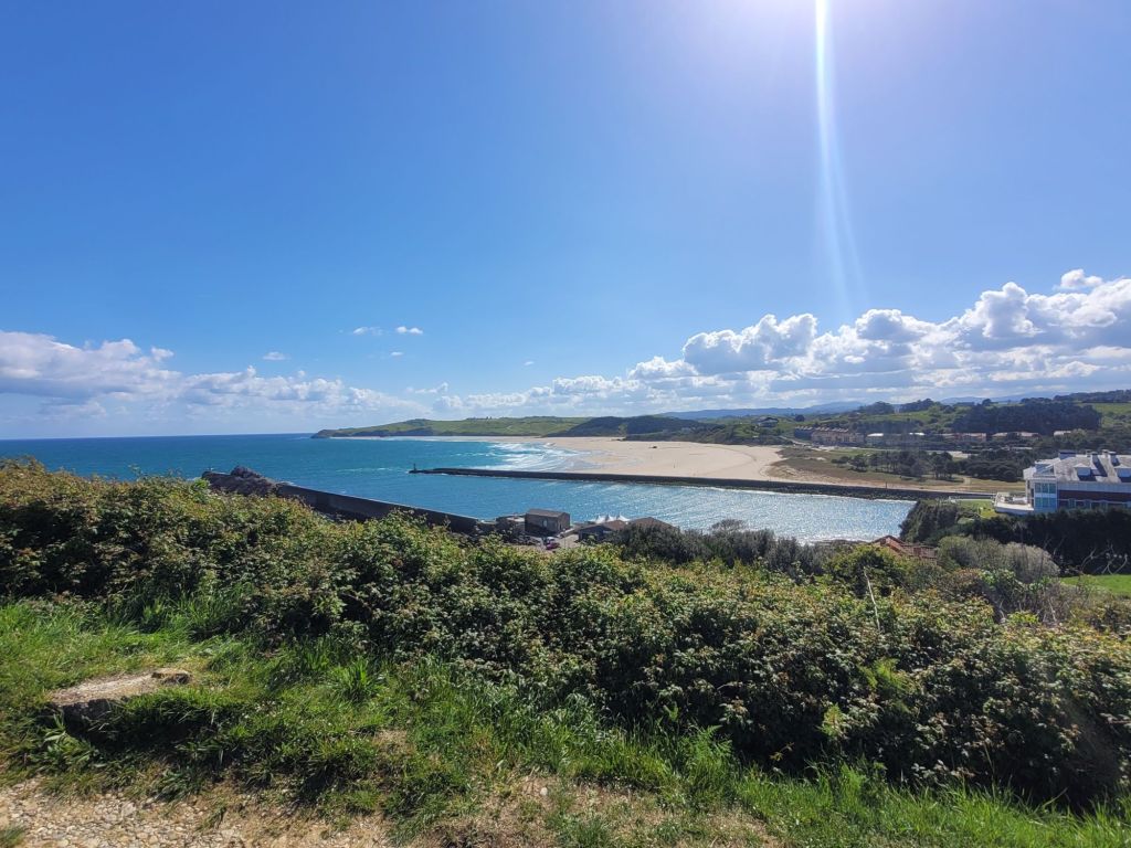
Gently shelving, the low tide exposed a vast stretch of fine pale sand, which seemed to go on forever.
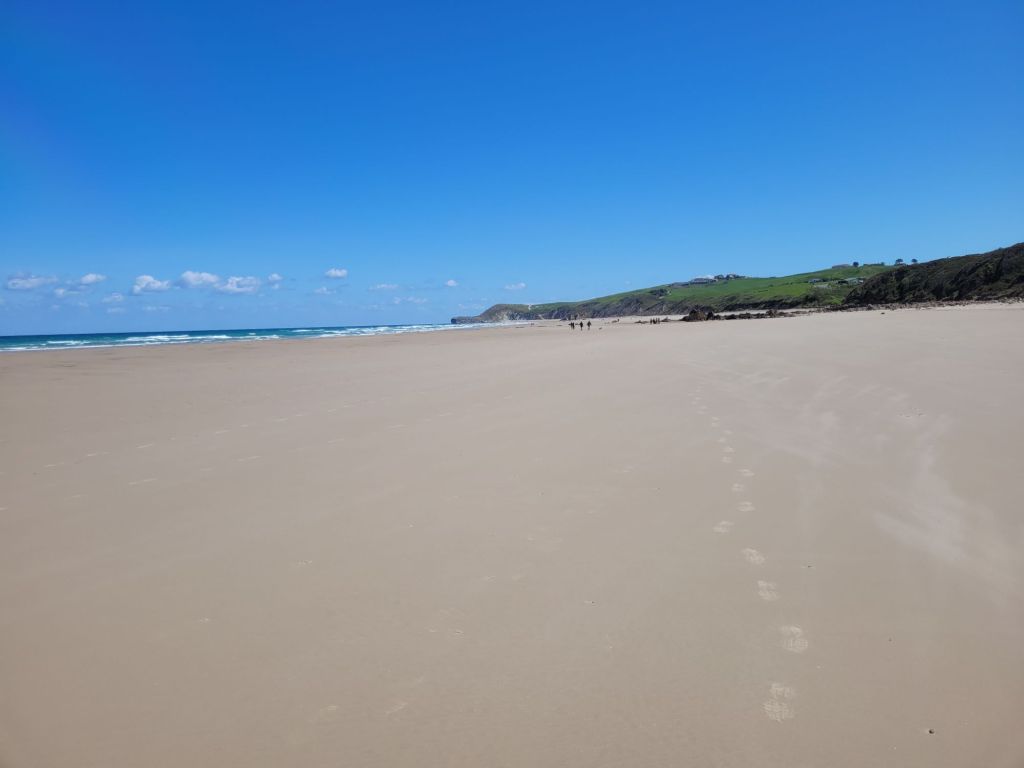
There are still rocks on the beach, although not many!
Looking upriver, the estuary is also gently sloping, with sand banks exposed at low tide. The marsh lies beyond the bridge.

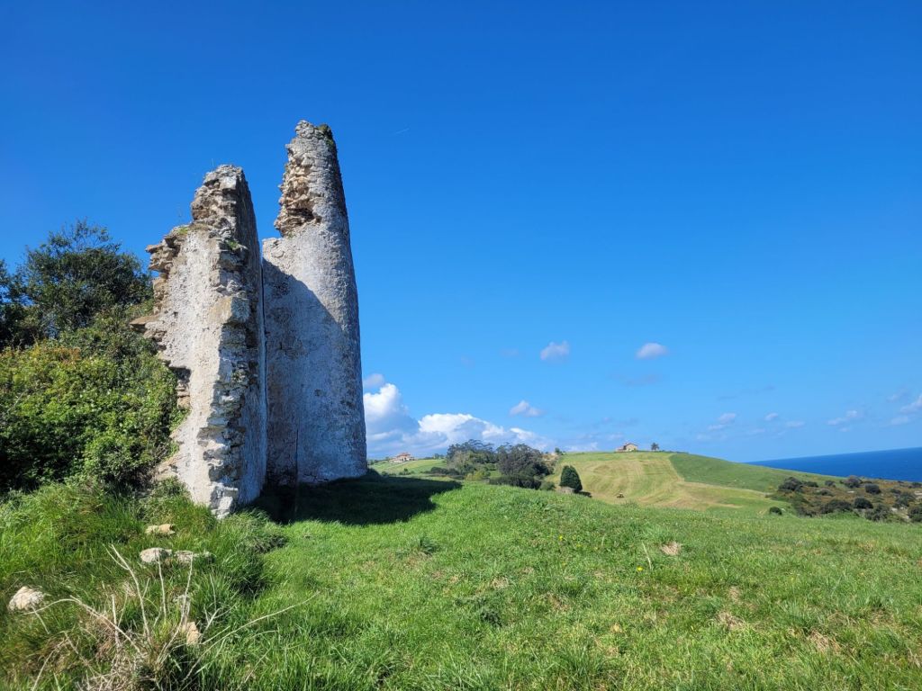
Together, cliffs, marsh and beach form a natural park (the San Vicente de la Barquera natural park) which is home to a wide variety of birds.
San Vicente, in medieval times, had an important fishing fleet and ended up providing the base for seafaring expeditions under Alfonso Eighth (12th century). It’s fishing industry was incredibly lucrative and it remains a working port. It was also an important stop on the Santiage Camino (northern route).
All this adds up to a charming little town with a tourist draw that ensures there are plenty of places to eat. We had lunch there – it was fine and relatively inexpensive. Roger’s prawn starter was suitably ‘prawny’ and my white beans with clams were suitably beany (although not very ‘clam-y’). Our mains were less impressive although ‘fine’. We watched the tide come in – always nice.
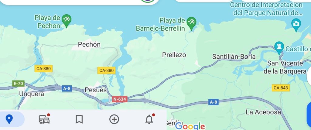
Slightly further west from San Vicente, were two wonderful estuaries (‘rias’ in Spanish). The more easterly is the Ria de Tina Menor, fed by the Nansa river and the more westerly is Ria de Tina Mayor, fed by the river Deva.
Both are equally beautiful – almost tropical in the way the blue of the sea contrasted with white sands. We were so surprised that we parked up and walked back on the first one just to check on what we had seen.
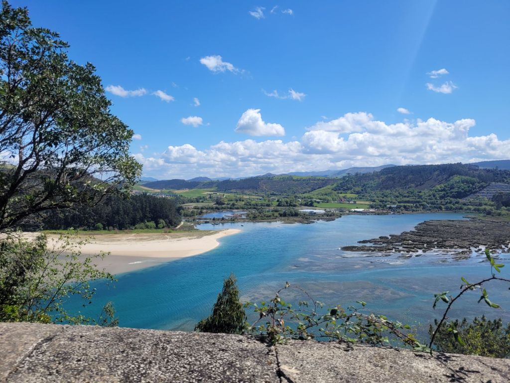

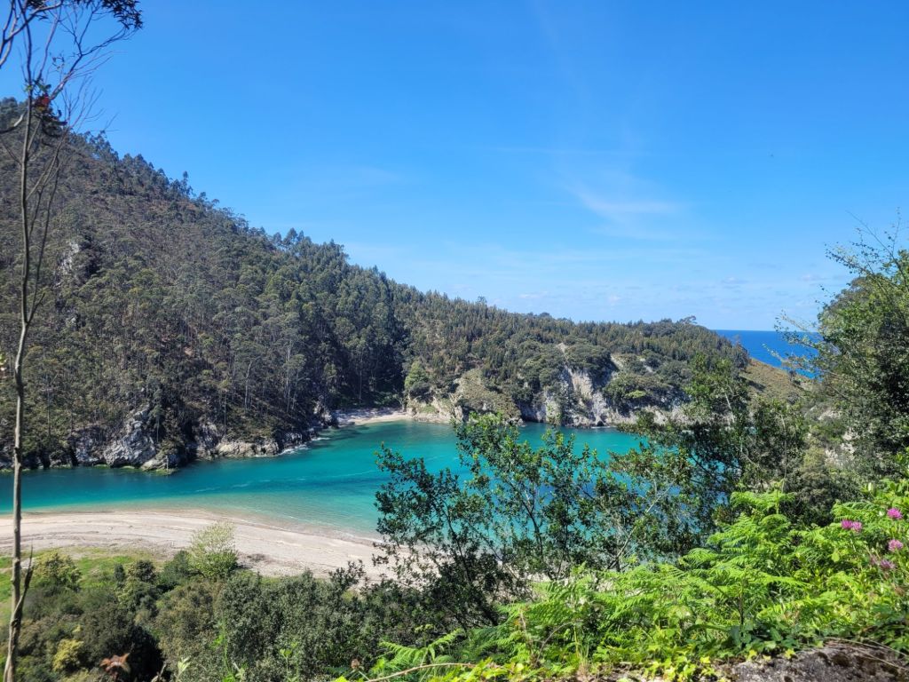

Honestly, the pictures aren’t over corrected or coloured. It just was that colour when the sun wasn’t behind a cloud!
In both cases there are rock islets just off the coast – more rocks.
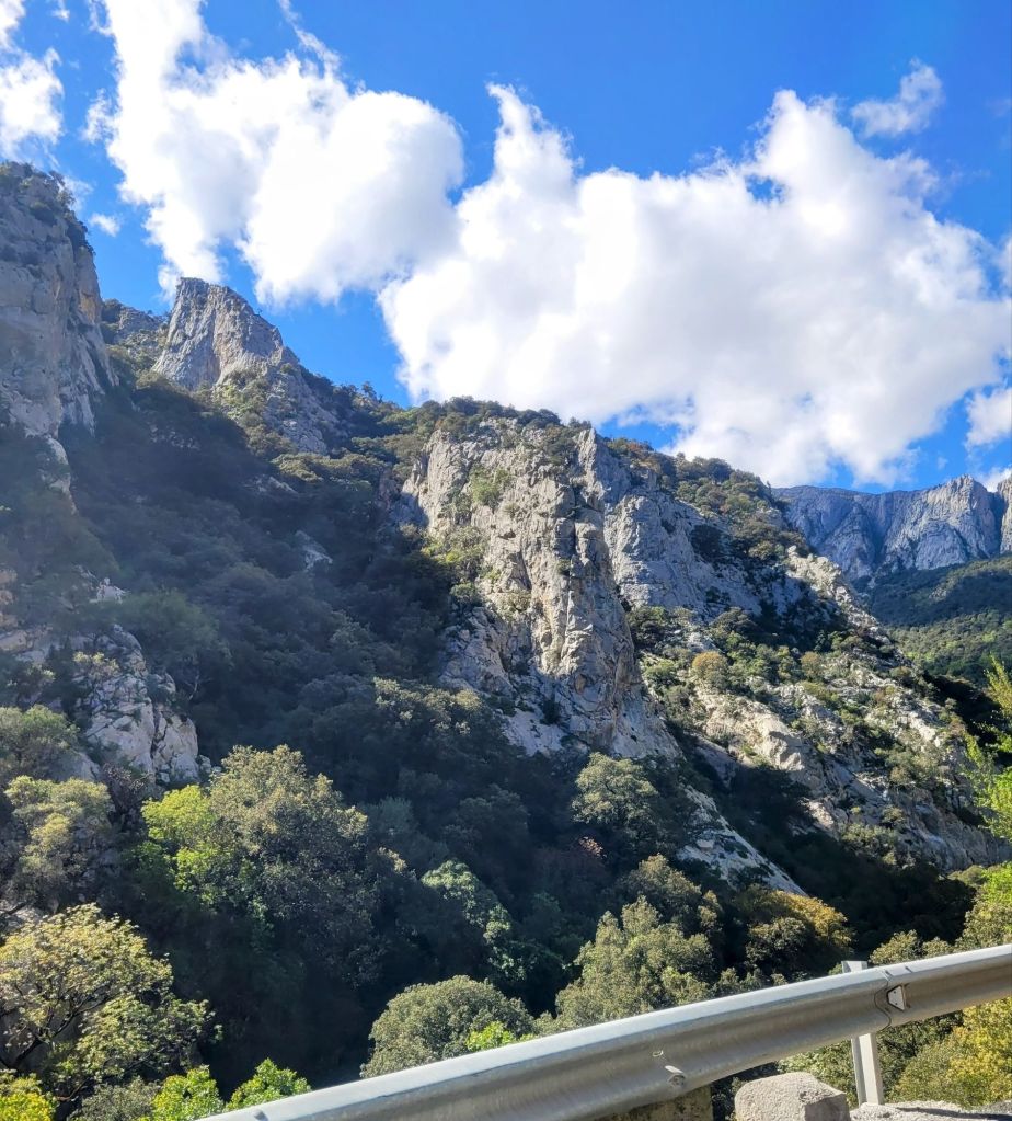
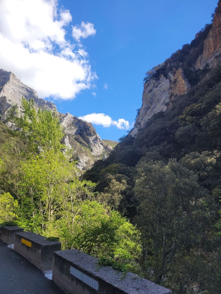
The Deva forms part of the border between Asturias and Cantabria, and it’s the Deva we followed as we turned inland (and southward), heading toward the Picos de Europa. Fairly quickly, big lumps of rock start to take over the view.
The road followed the river up a gorge – they were doing roadworks all along it, so we went through a series of queued traffic waiting on lights (it added about an hour to our journey). Although it couldn’t always be seen, the Deva was always present, gurgling away towards the Atlantic.
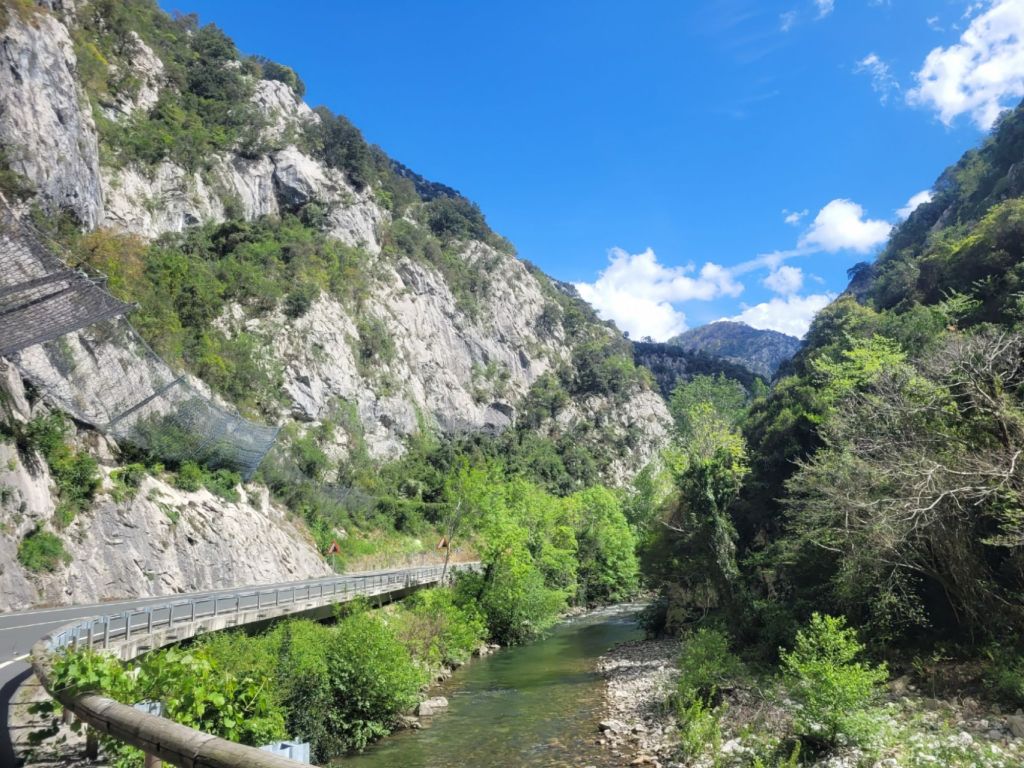
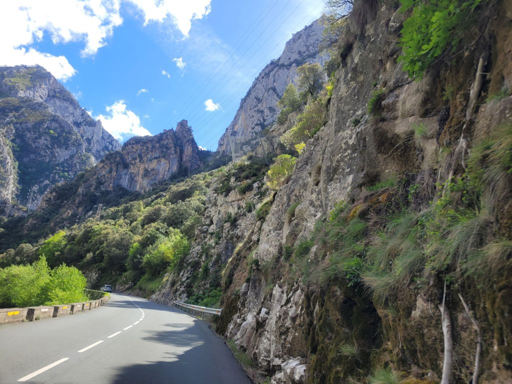
The road ran gently (very gently) uphill, through narrower and wider sections of the gorge, with the mountains getting higher and higher along the way.
Then it all opened out as the road emerged from the gorge and went round a huge lump of rock.


Finally, the Picos in the distance. And on we went to our next hotel.

Leave a comment