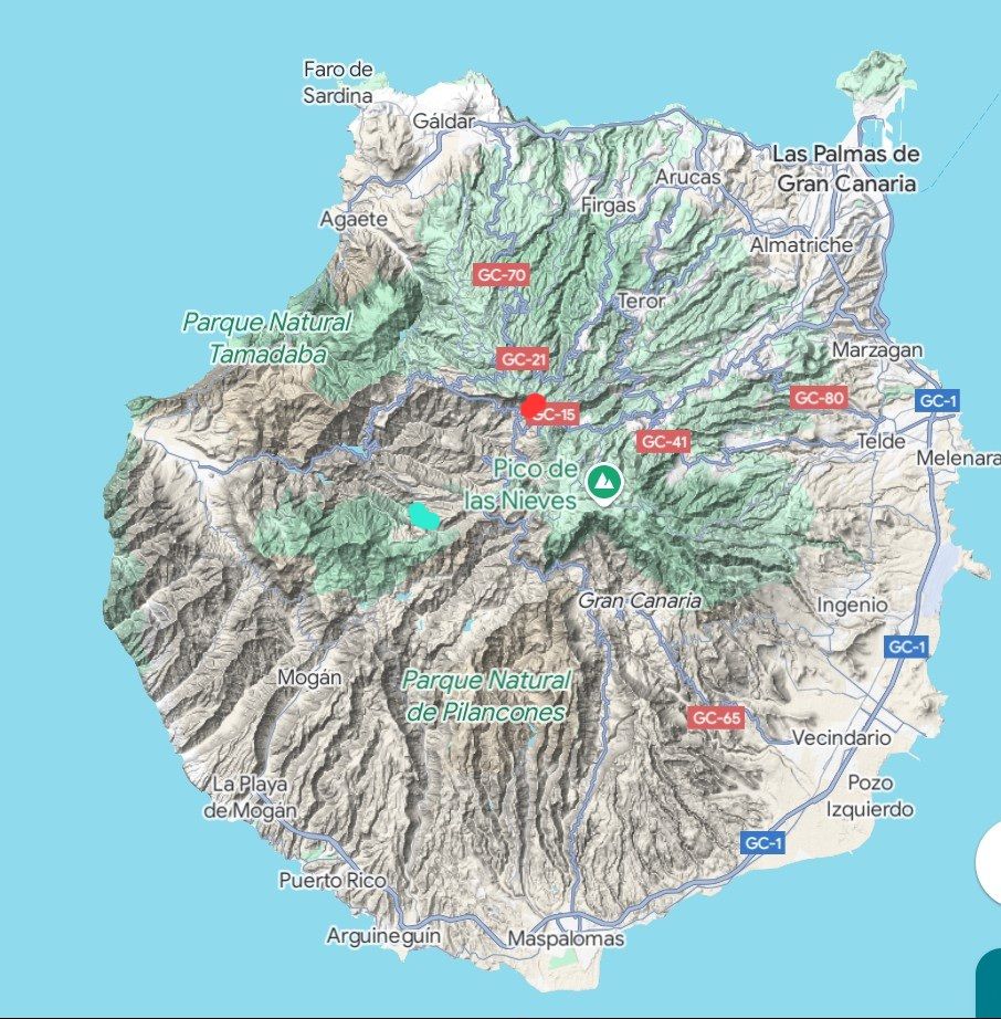
Gran Canaria is (from what I can make out) one large volcano that blew its top off and secondary explosions later. This has left it with a massive caldera in almost in the middle of the island with (like La Gomera, in particular) deep ravines radiating from the centre.
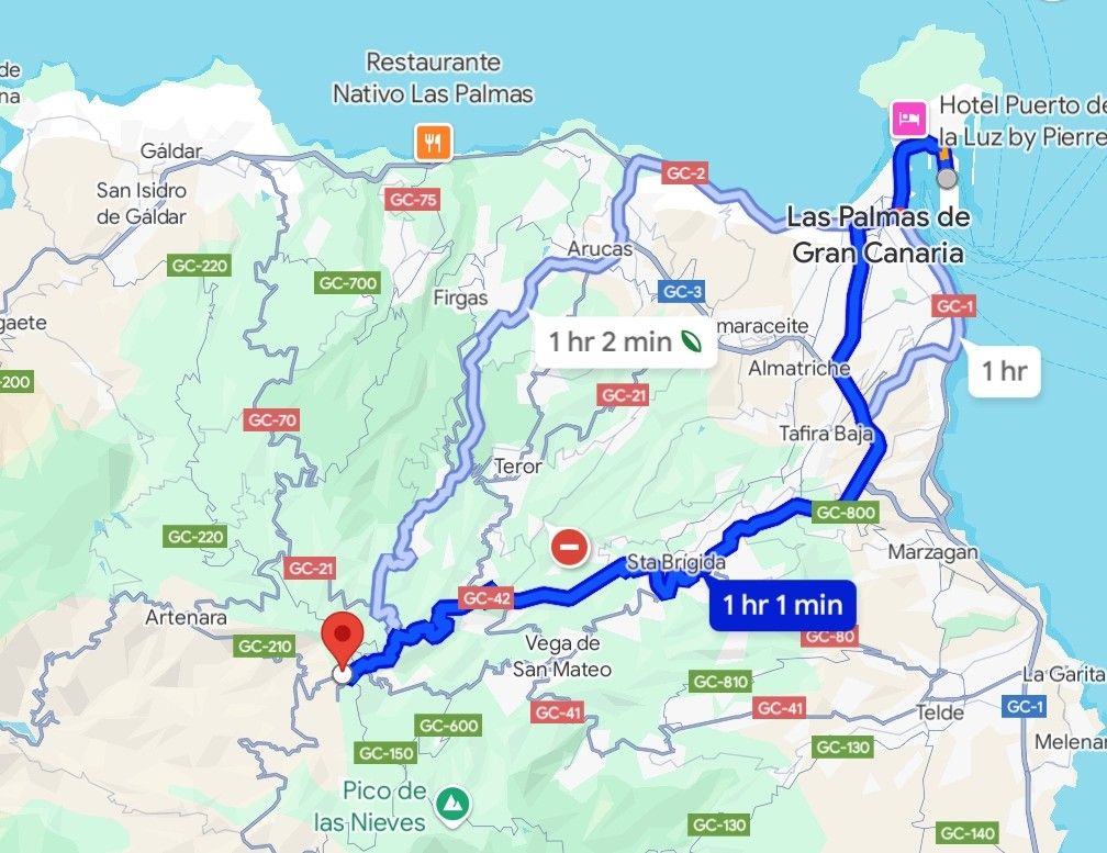
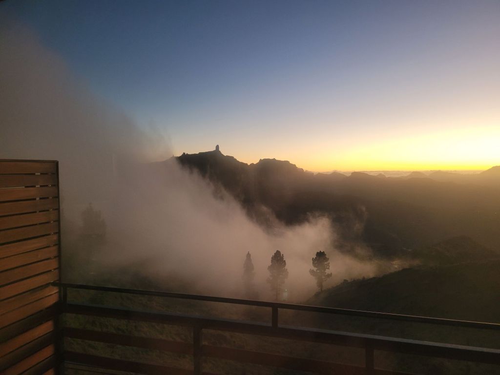
We stayed in Cruz de Tejeda which is on a crossroads right on the north-eastern rim with views (from some places) both east to the sea and west across the caldera (also to the sea). It’s very difficult to predict the weather, as although it’s above the clouds that cover the rest of the island, the caldera is (more often than not) filled by clouds, fog and mist in the early evening, or in the morning.
Like most of the islands, it was covered in varying types of forests, at the highest levels Canary Pines (the ones that don’t burn easily, don’t rot easily and that were used extensively for ship building and repairs). Unlike several of the other islands that still have some of their original forests left, Gran Canaria’s forests (of all types) were mostly decimated.
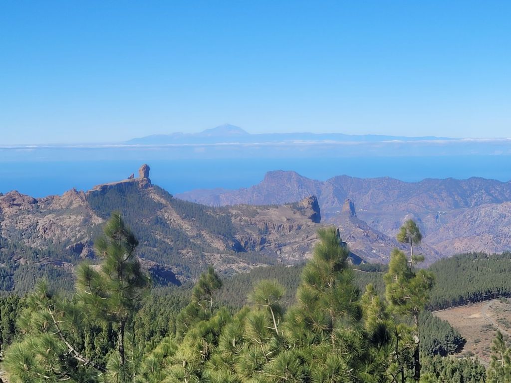
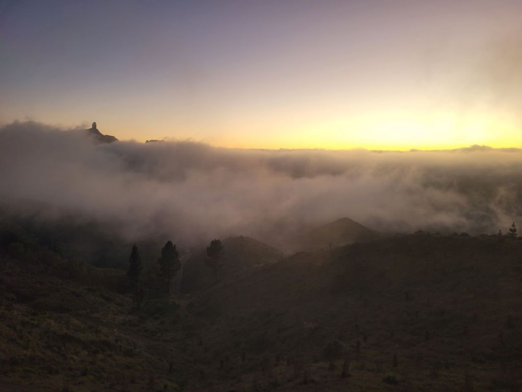
The above are the same view from Picos de las Nieves, which is just shy of 2000 metres above sea level. It is looking west, across the southern part of the caldera, past Roque Nublo (the one on the left) with Roque de Bentayga further to the right. The many pines attest to the efforts put in to reforesting the slopes, with seedlings and seeds taken from the area around Roque Bentayga (which was never quite as exhausted of trees). You can see Mount Teide on Tenerife in the distance.
To say the views are immense is an understatement – they are awe-inspiring. The Parador (where we stayed) sits just inside the rim, and the views from almost every part of the hotel are incredible – cloud cover allowing.

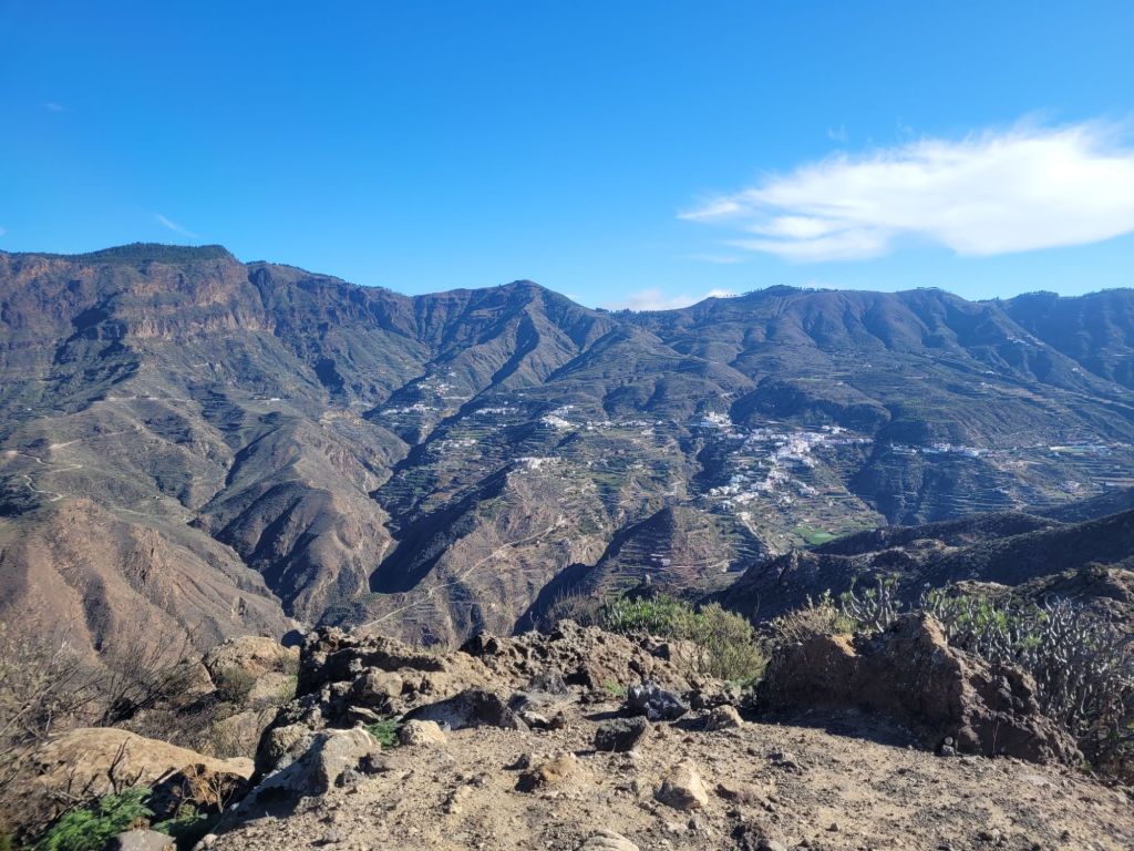
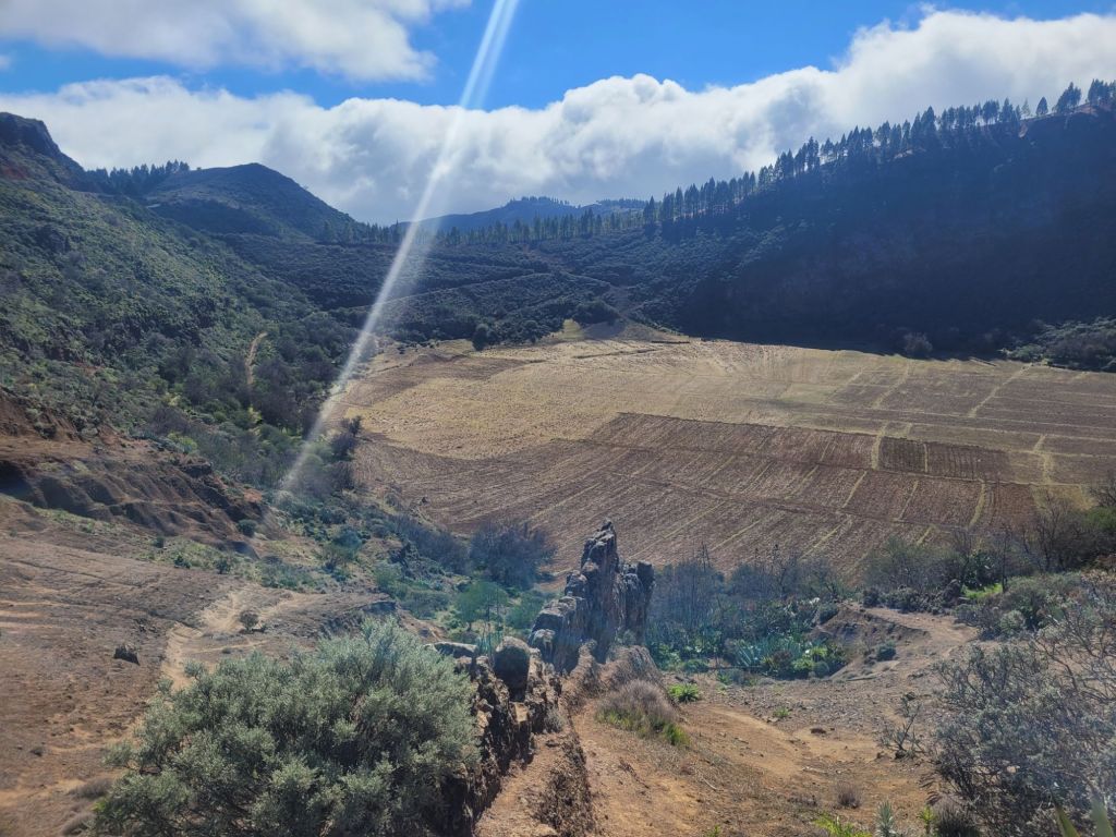
There is also an enormous ravine – Barranca de Guayadete – which runs south-east from the centre. This ravine provided a sheltered and secure habitat for the Guanches, who populated it with cave dwellings extended into the extensive caves, and – later on – subsistence farmers who continued the tradition of cave dwelling. People still live there, although they have mostly left the land and work in the hospitality sector – there are a variety of restaurants and distributed hotels through the ravine. And lots of walking trails!


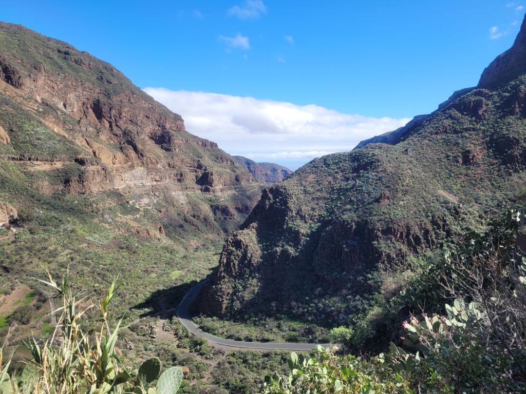
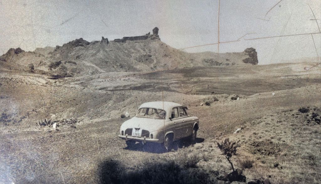
Everywhere there are reminders of the island’s volcanic past, with vents, lava outcrops, lava dykes – and always amazing views.


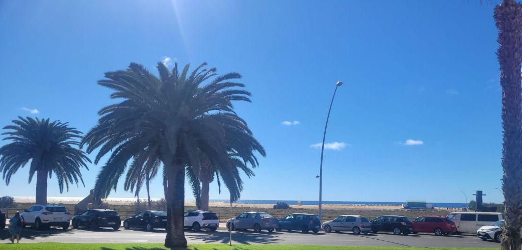
From Cruz de Tejeda we drove down the mountain – extremely early – to the port area of Las Palmas in order to catch the early ferry to Fuerteventura. Thankfully, after a day of dense cloud and mist, the morning was clear (we left in the dark). Furthermore, we asked advice about the ‘easiest route’ down rather than following Google’s slightly more gung-ho directions (which proved hair-raising on the way up). Four and a half hours after leaving the hotel, we docked at Fuerteventura – a desert island with enormous sandy beaches.