So, while it has been interesting enough (just), this island is not our cup of tea.
For the sake of argument, let’s just call it a desert. Literally. And the island is, essentially, focused on tourism: there are many (MANY) hotel complexes, holiday villages, abandoned half-built hotels, holiday appartment blocks in various stages of completion etc.
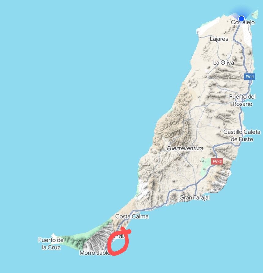
The ferry got in to Jandia – in the middle of the badly marked up sort-of circle to the south east of the map. We picked up a car and drove straight through the middle to Corralejo – the blue dot.
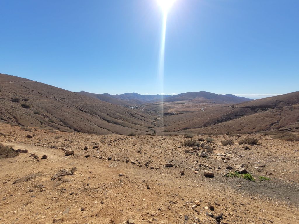
From what we could make out as we drove along the short section of south coast, it was mostly golden sandy beaches interspersed with large hotel complexes. Heading out of the urban sprawl, this rapidly changed to the main characteristic of the island: bare, arid land with very little vegetation.
Fuerteventura is the oldest of the islands in the archipelago, formed by three volcanoes that eventually merged into one island. At some point millions of years ago, the north-western side of the volcano slipped off into the sea, this was followed by more volcanic activity which partly filled the central, larger caldera. There are vents and cones all over the island but the effects of erosion have significantly reduced its overall height – the highest peak is just over 850 metres above sea level. Apparently it would have originally looked like La Palma (which might also suffer a land slip into the Atlantic, triggering a tsunami that would affect the eastern seaboard of the USA).
It has been difficult to find concise information about the formation of Fuerteventura that is accessible for the uninformed, and all the museums say is ‘it was formed by a volcano’. Which is not very helpful. So my apologies to anyone reading this who is appalled by mistakes, misinformation and misconcepetions.
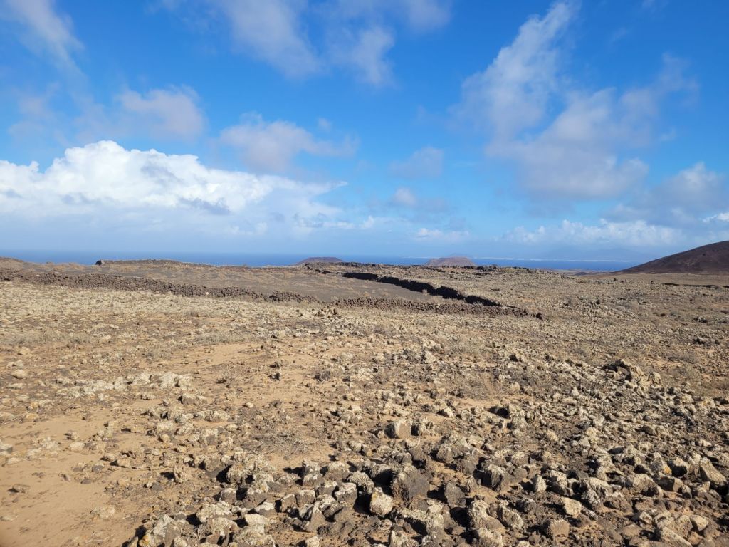
Fuerteventura is mostly flat, incredibly arid and has a lot of tourism.


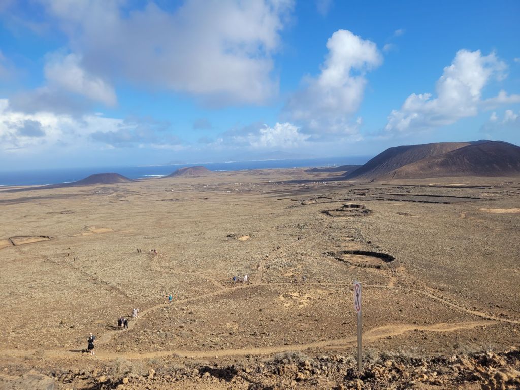
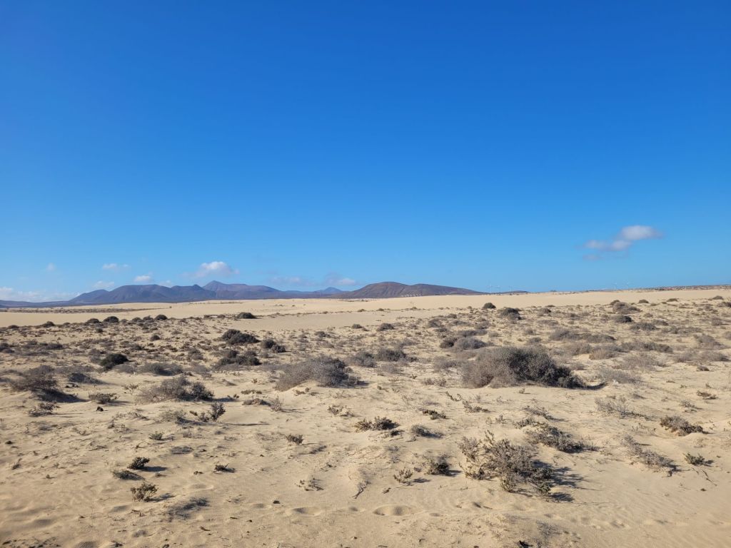
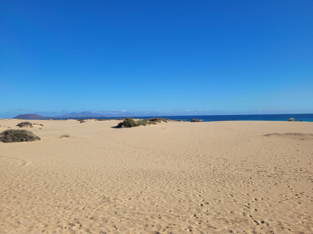
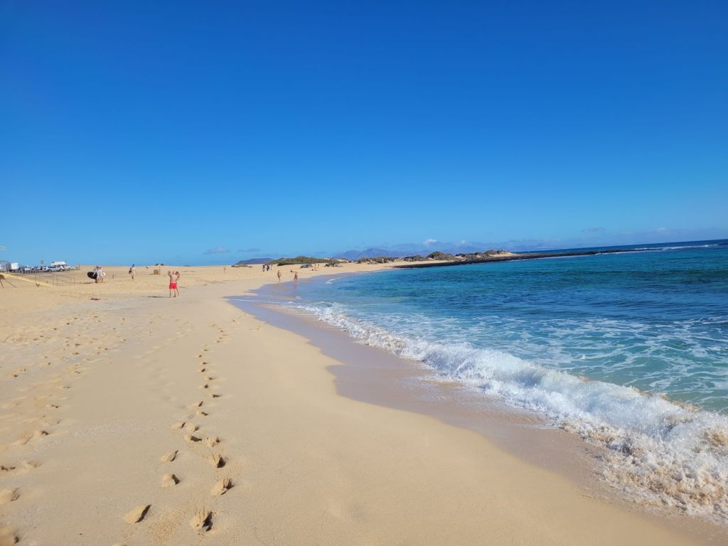
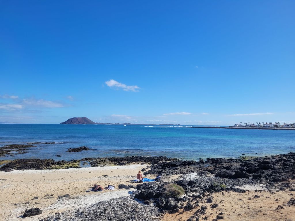
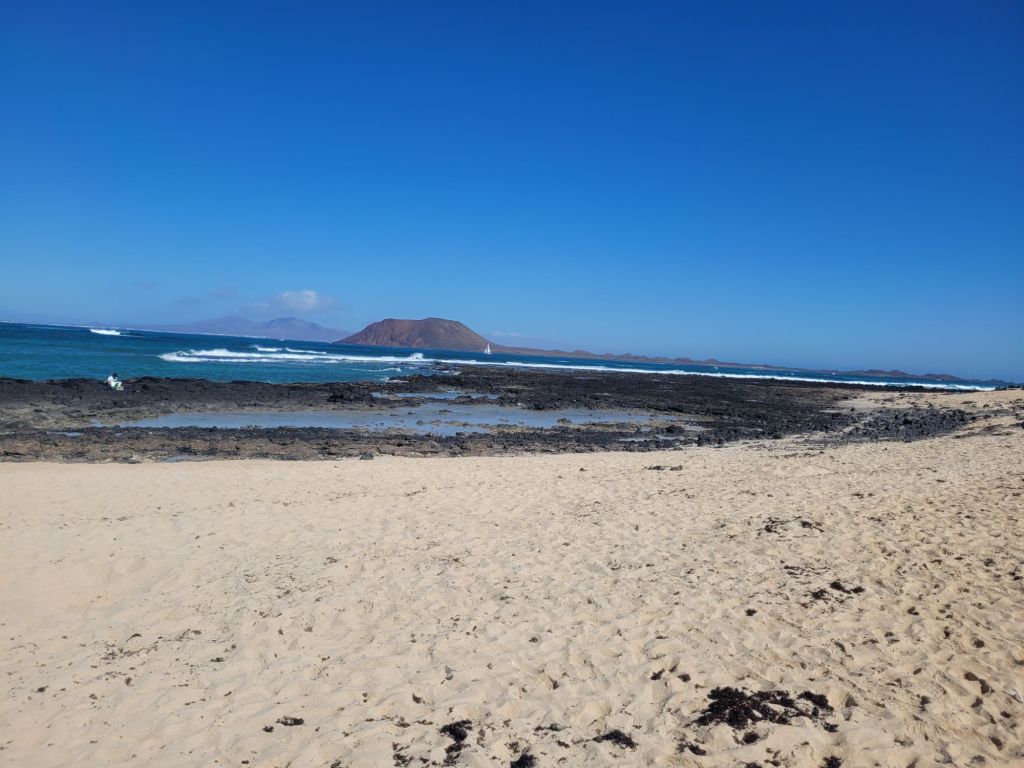
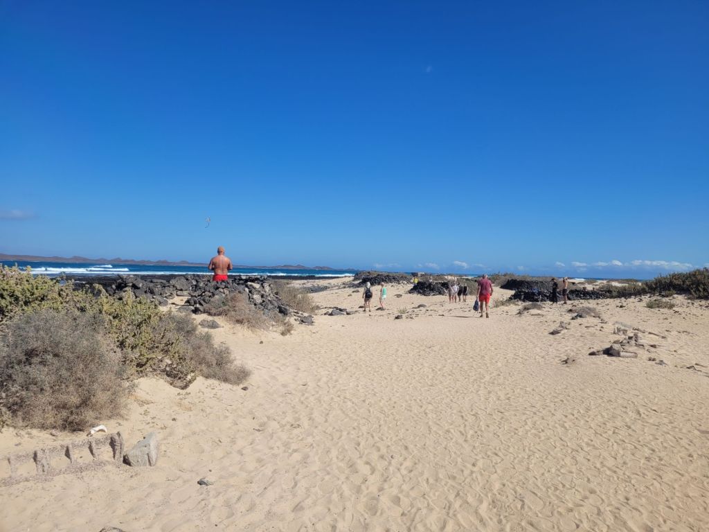
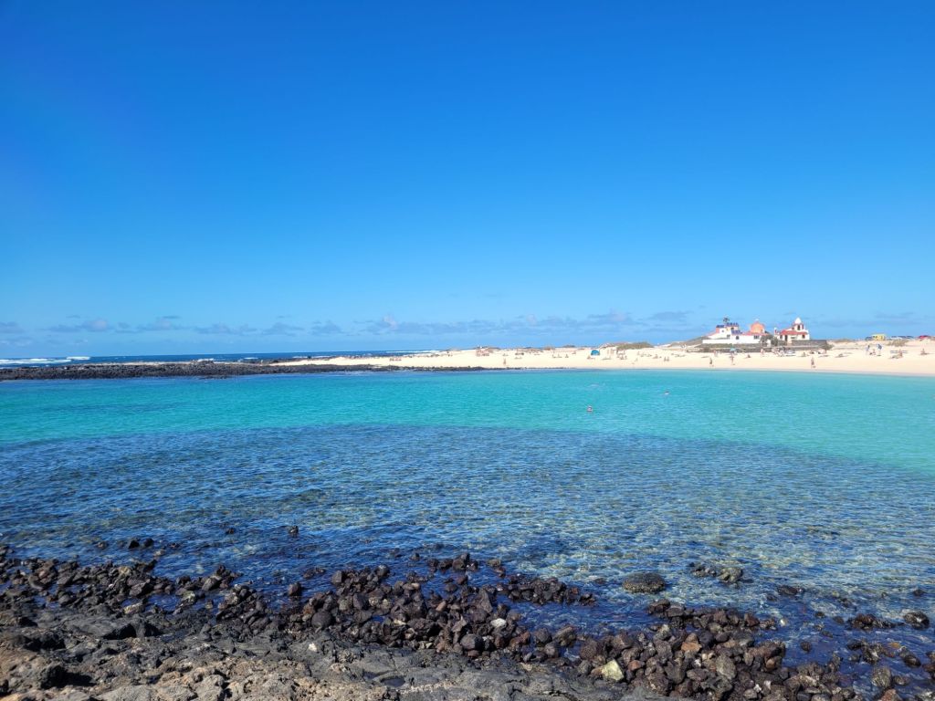
It’s famous for its golden, soft sand beaches that extend for miles. And yes, they are beautiful. But there is sand (and rock) everywhere. At the north-eastern corner of the island is a natural park that encompasses sand dunes – it’s utterly bizarre.
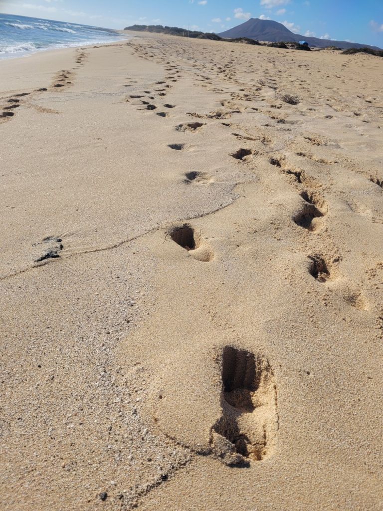
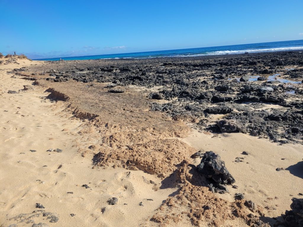
The beach is incredibly long and quite sheltered (compared to other northern sections of the island), the sand is deep, soft and quite hard to walk in. In order that you don’t forget its volcanic origins, there are outcrops of lava every so often.
What is almost unbelievable is that the original islanders, here known as Mahos, managed to develop a method of farming cereals that enabled Fuerteventura, through the efforts of later settlers who adopted these ‘dry-farming’ methods, to become an exporter of cereals to the rest of the archipelago. It appears that the island wasn’t quite as arid then as it is now; an early Spanish report comments on four or five fresh water streams, with enough current to run water mills.
The Mahos also brought goats and sheep with them, with the goats eventually becoming a specific breed that are ‘good doers’ on poor provisions: they provide a lot of milk and they carry a lot of fat. Looking at the island today it beggars belief that anyone ever farmed anything – be it animals or crops, but the pictures below are from anan area on the flank of a volcanic cone that apparently suppote both crops and a herd.

We saw no goats or sheep. Anywhere. But goat cheese is an important product for the island – I think it’s the only island in the archipelago to have a DOP certification, at least that is what the lady at the cheese museum said when we were tasting cheese.
When tourism developed in earnest most people left the land, which is now so eroded that almost all of the little rain that falls ends up in the sea (over 85% in one article). Whether this erosion was due to the lack of cultivation or changing climatic conditions isn’t clear. What is clear is that there is NO fresh water anywhere on the island – no streams, no lakes, no ponds, nothing. They rely on de-salination plants for fresh water.
Invaded in 1402 by Norman knights working for the King of Castile, the island was frequently raided by Barbary pirates in later centuries, testified to by a couple of fortifications along the northern coast, while in WW2 the Spanish government constructed some reinforced concrete gun emplacements to guard against British invasion – these are utterly incongruous.
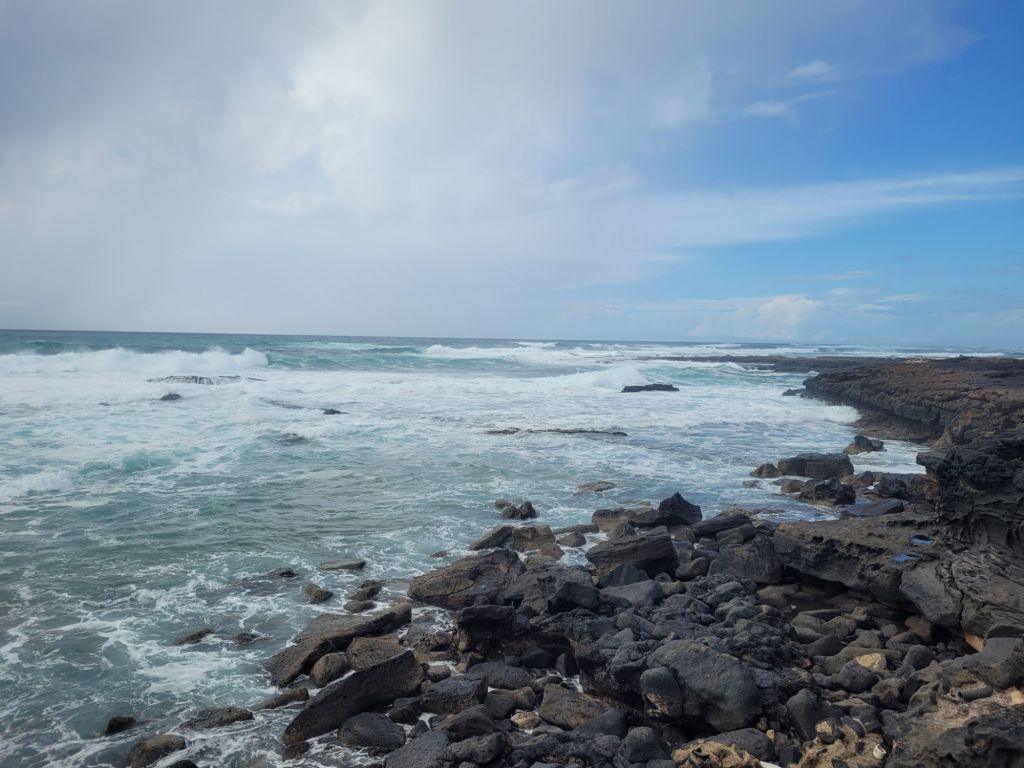
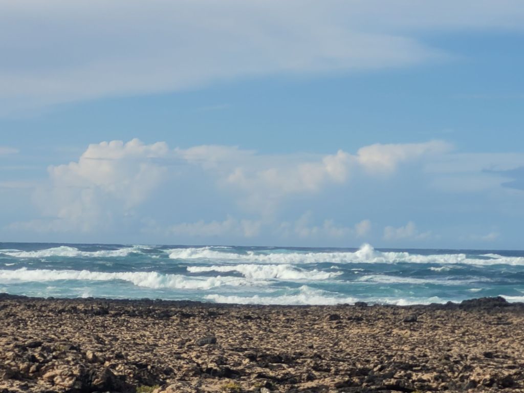
The coastline on the north-west side is rockier and during rough weather the waves roil in. Thankfully there’s a much needed light-house on the north-west corner, as the waters do look treacherous, both in terms of rocks and also of currents.

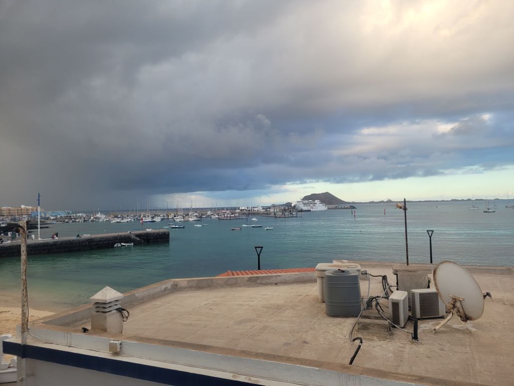
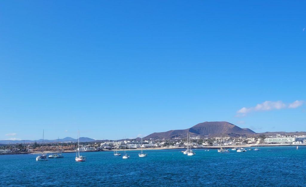
We stayed in Corralejo, which has contradictory information about its history. I am going to go with there being absolutely nothing in or around Corralejo 150 years ago. Then there was a (very) small fishing port and in the 1970s, tourism exploded onto the scene. A telling fact is that the Catholic church serving the town is recent – there are no old churches or small chapels. We heard English, German, Spanish, Italian, French, some Scandinavian language, some Slavic language – in that order. Most of the signage is in English and a lot of it appeals to the lowest common denomintor.
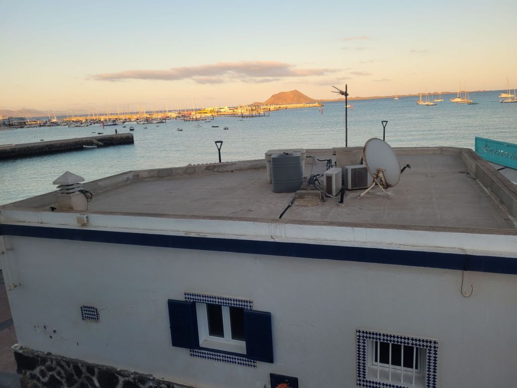
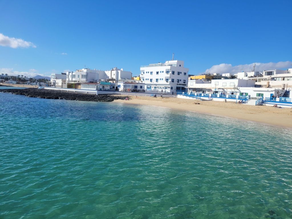

The marina is large and busy with water sports dominating: sailing dinghies, surfing, kite surfing, jet-skies, wind surfing… All alongside ferries to Lanzarote, glass-bottomed boats and tours to Isla de Lobos. There were also a fair number of people in the water (we did not join them). The beach extends east from the town into the dunes park and it is honestly stunning.
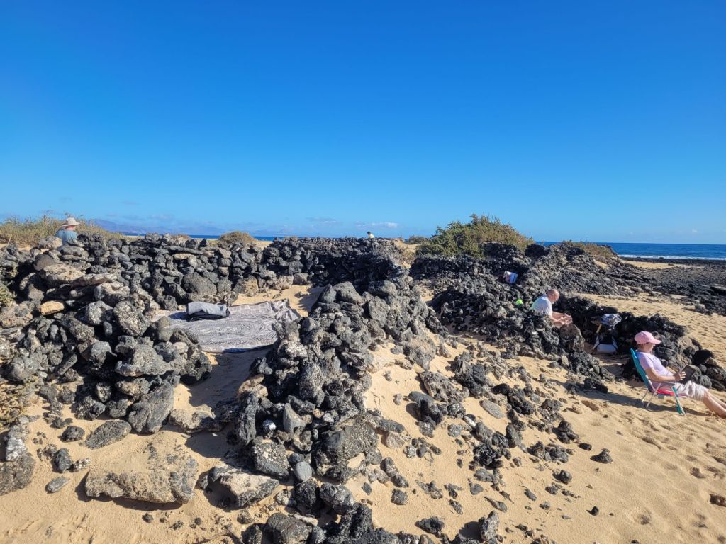
The white pebbles are rhodolites, apparently totally natural: their removal is forbidden. Also forbidden is the construction of stone towers or circles – more honoured in the breach than in the observance.
We visited two pretty towns (as well as the place with the cheese museum but there wasn’t much to that one), Betancuria (the old capital until the mid 19th century) and El Cotillo (on the far north-western corner).
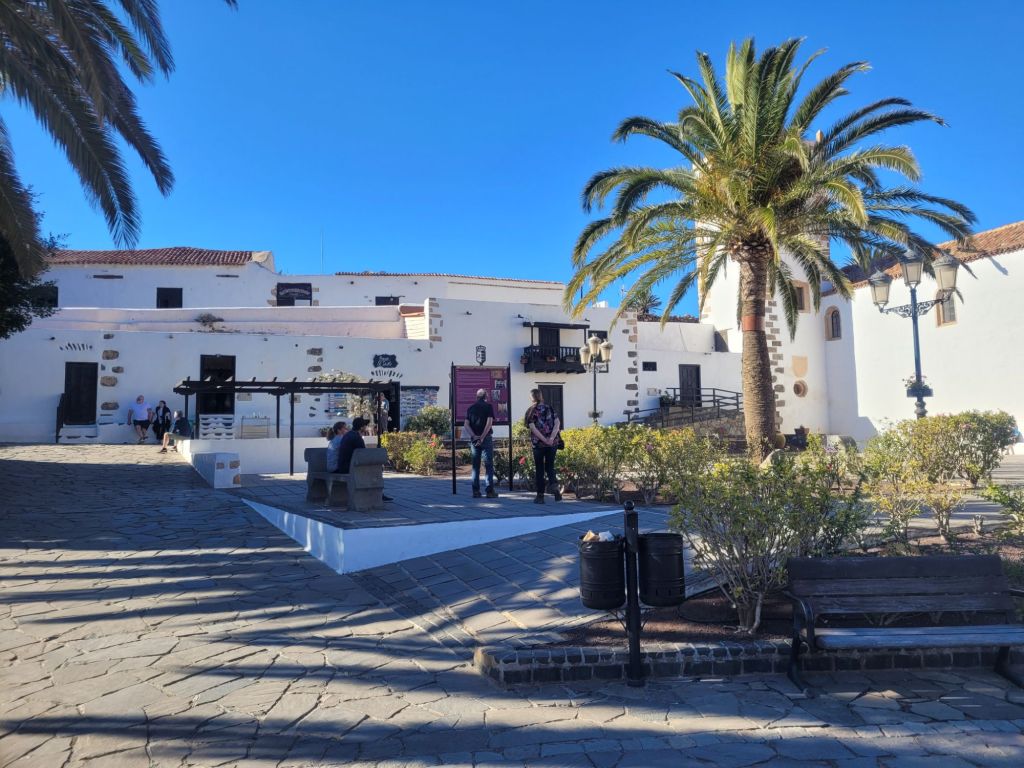
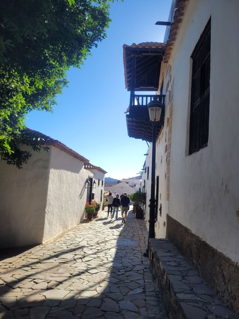
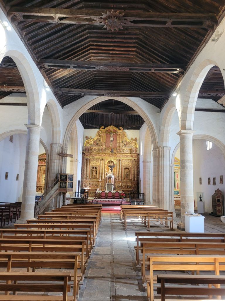


Betancuria was small, pretty, full of day-trippers like ourselves and with a surprisingly attractive and low-key church.
El Cotillo really was a small fishing town, although both the old harbour and the ‘new’ harbour seem lacking in either a safe entry or sheltered waters.
We went to both places twice and our best meals were had in either of these two towns. The view from our restaurant was straight west across the Atlantic.


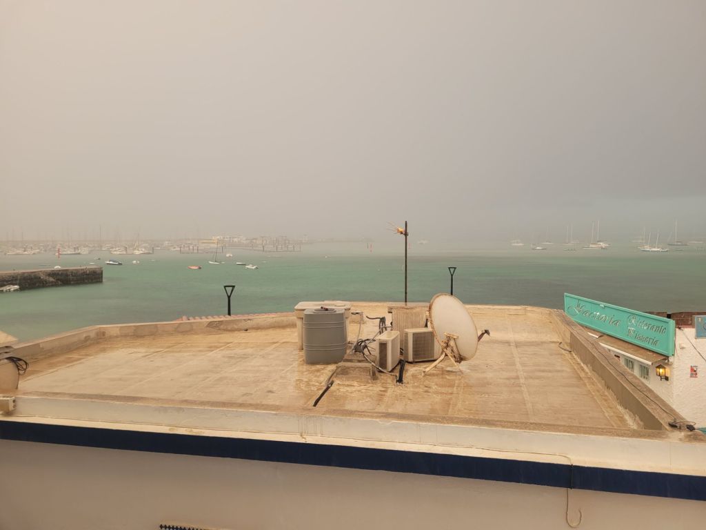
It was incredibly windy one day (the effects of Storm Eowyn?) and absolutely poured the following one. We sat on our miniscule balcony (which hardly counts as one), watching the rain come in, and decided we wouldn’t be returning, despite the enchanting beaches and the warm weather.